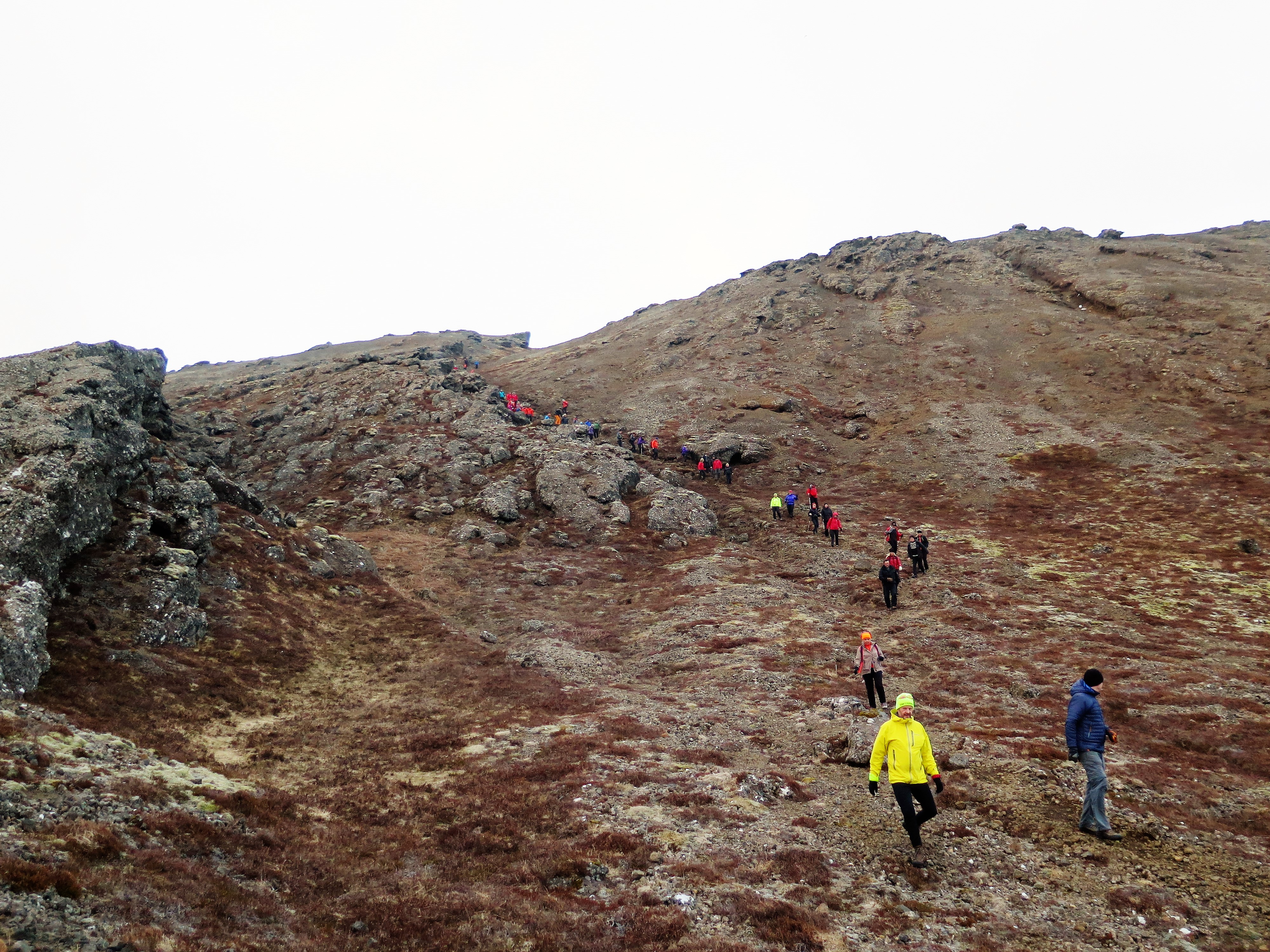
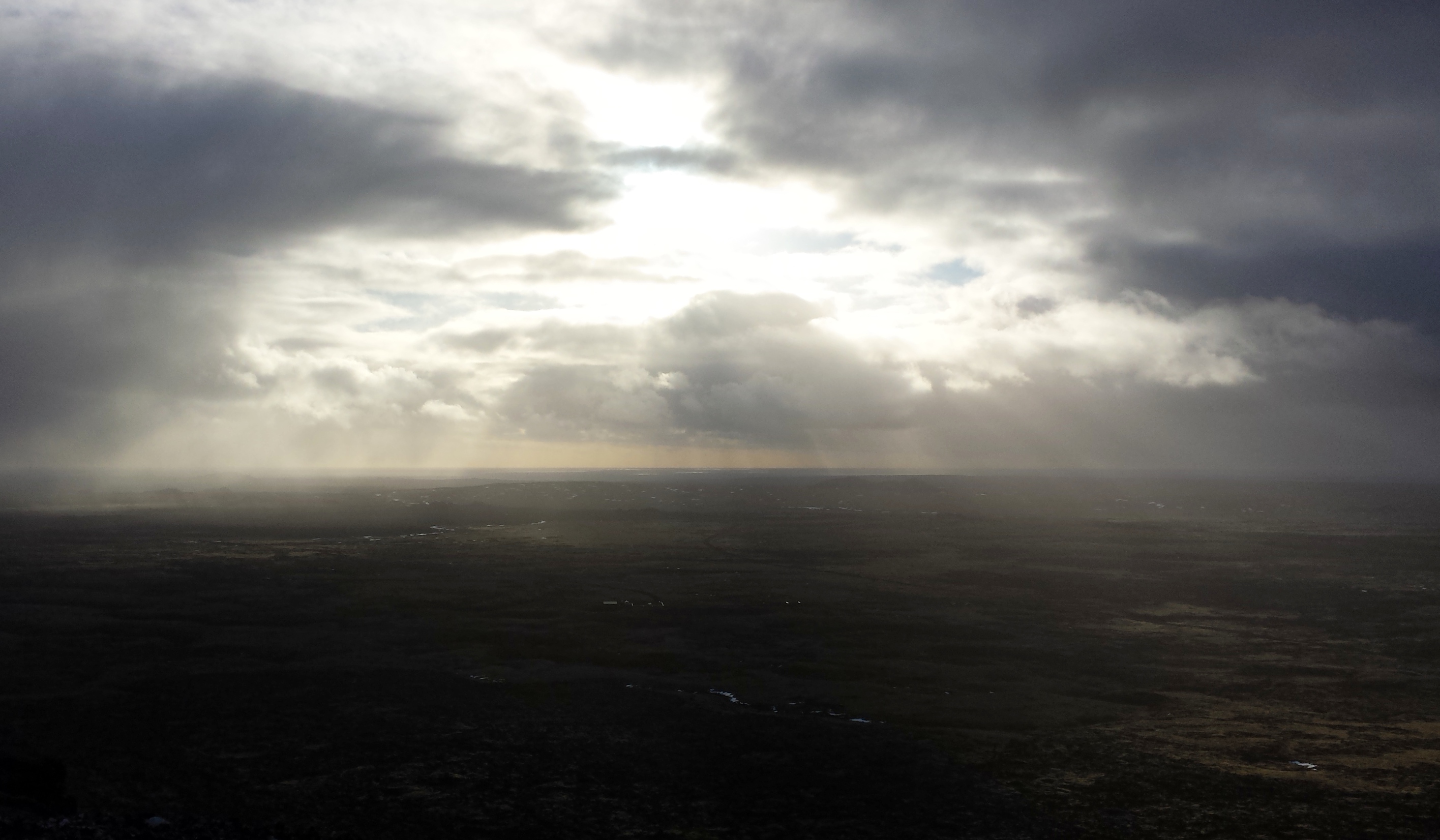
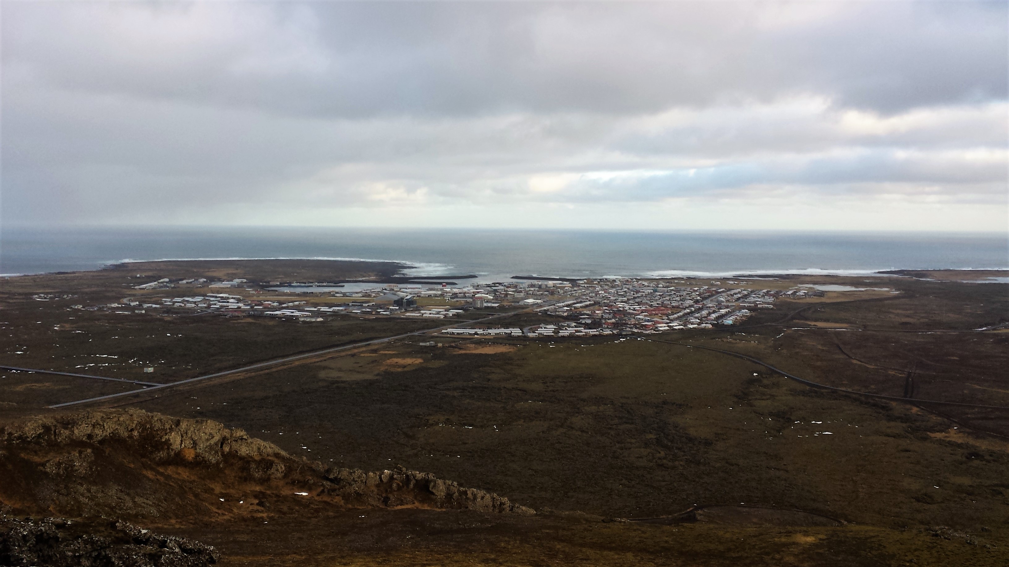
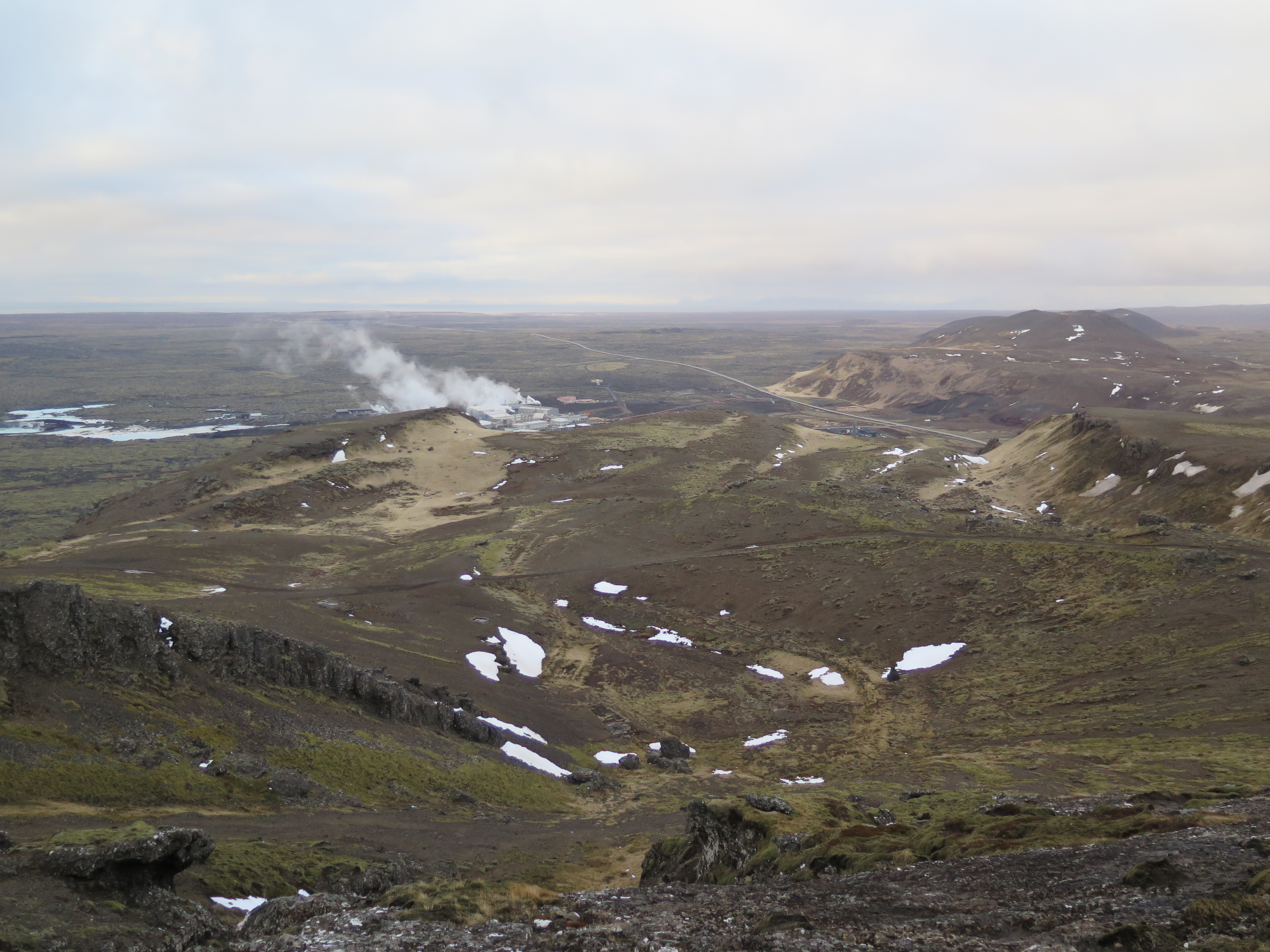
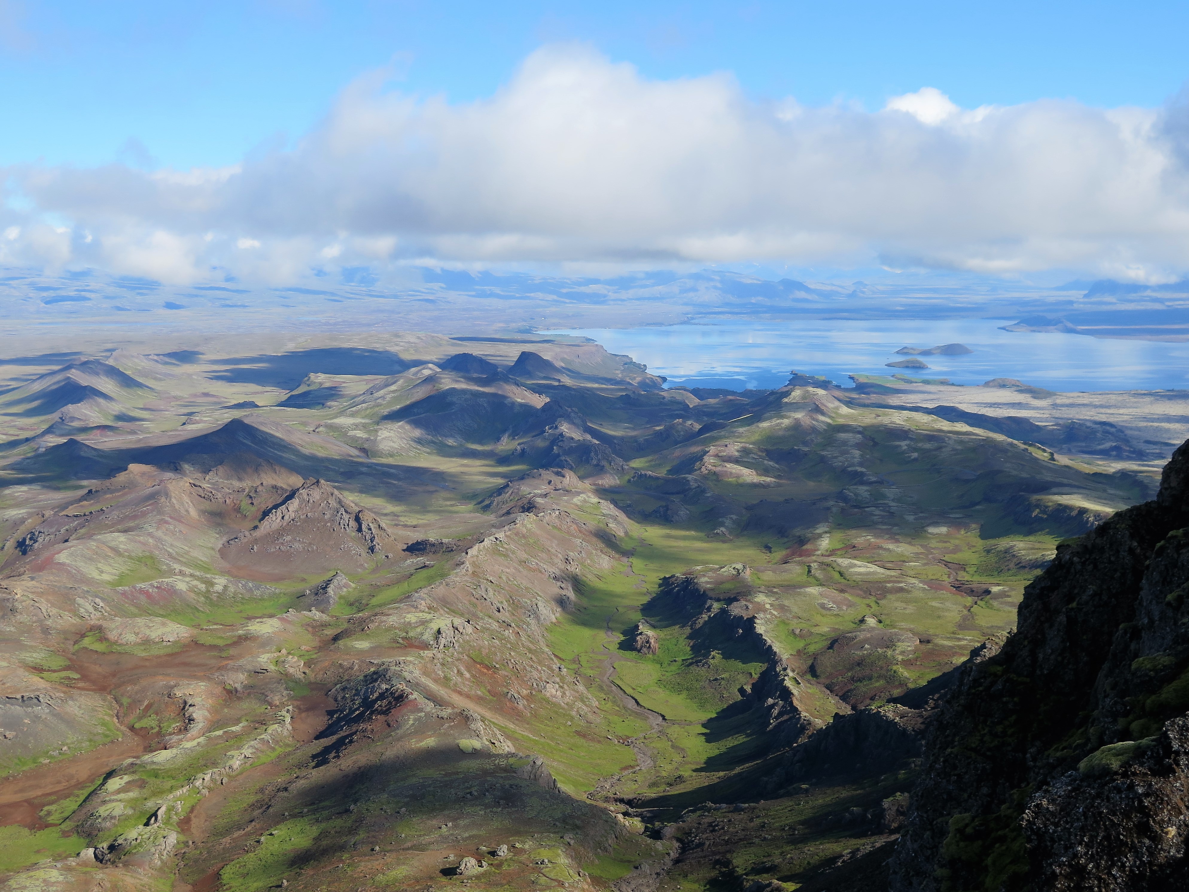
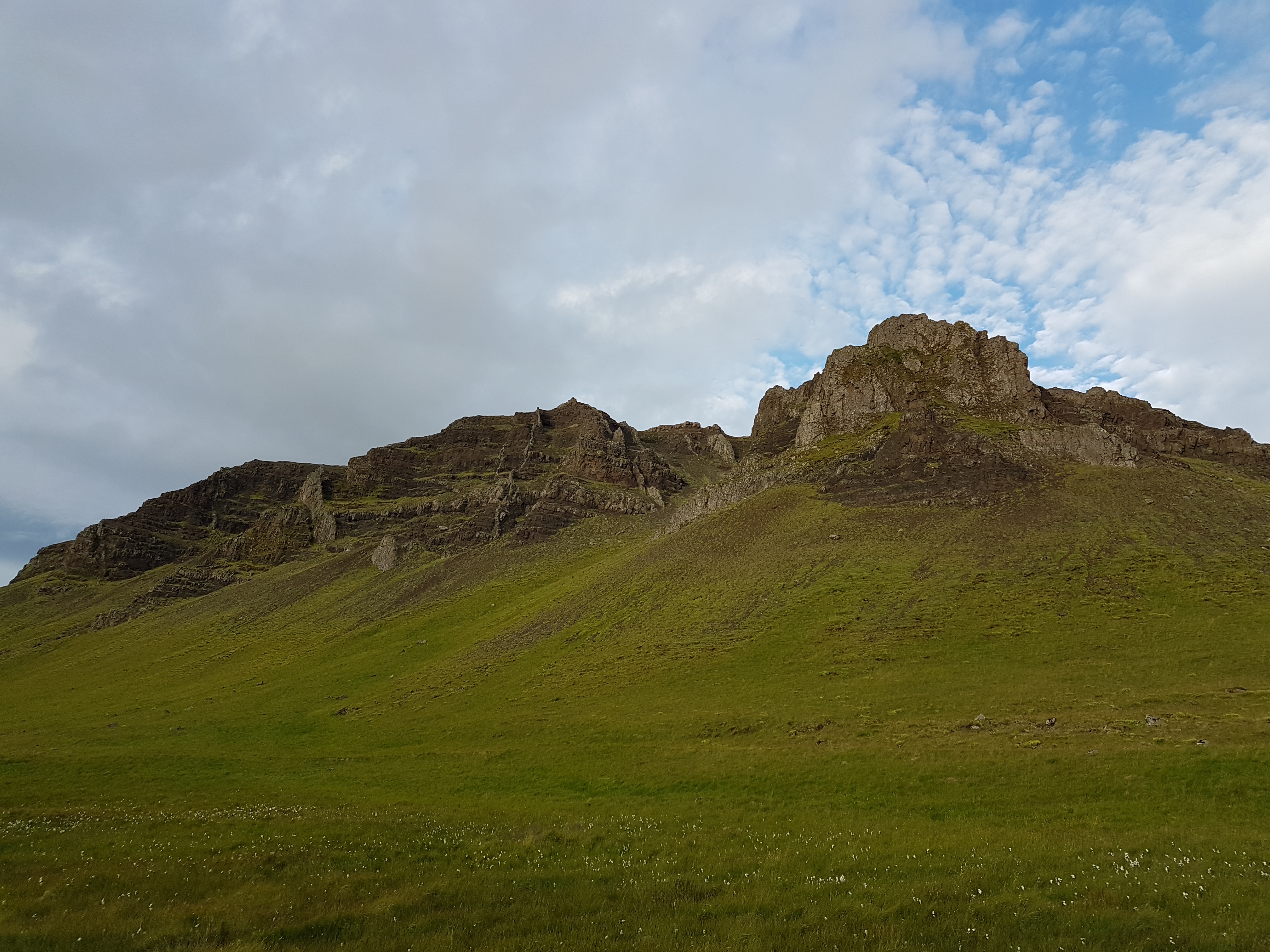
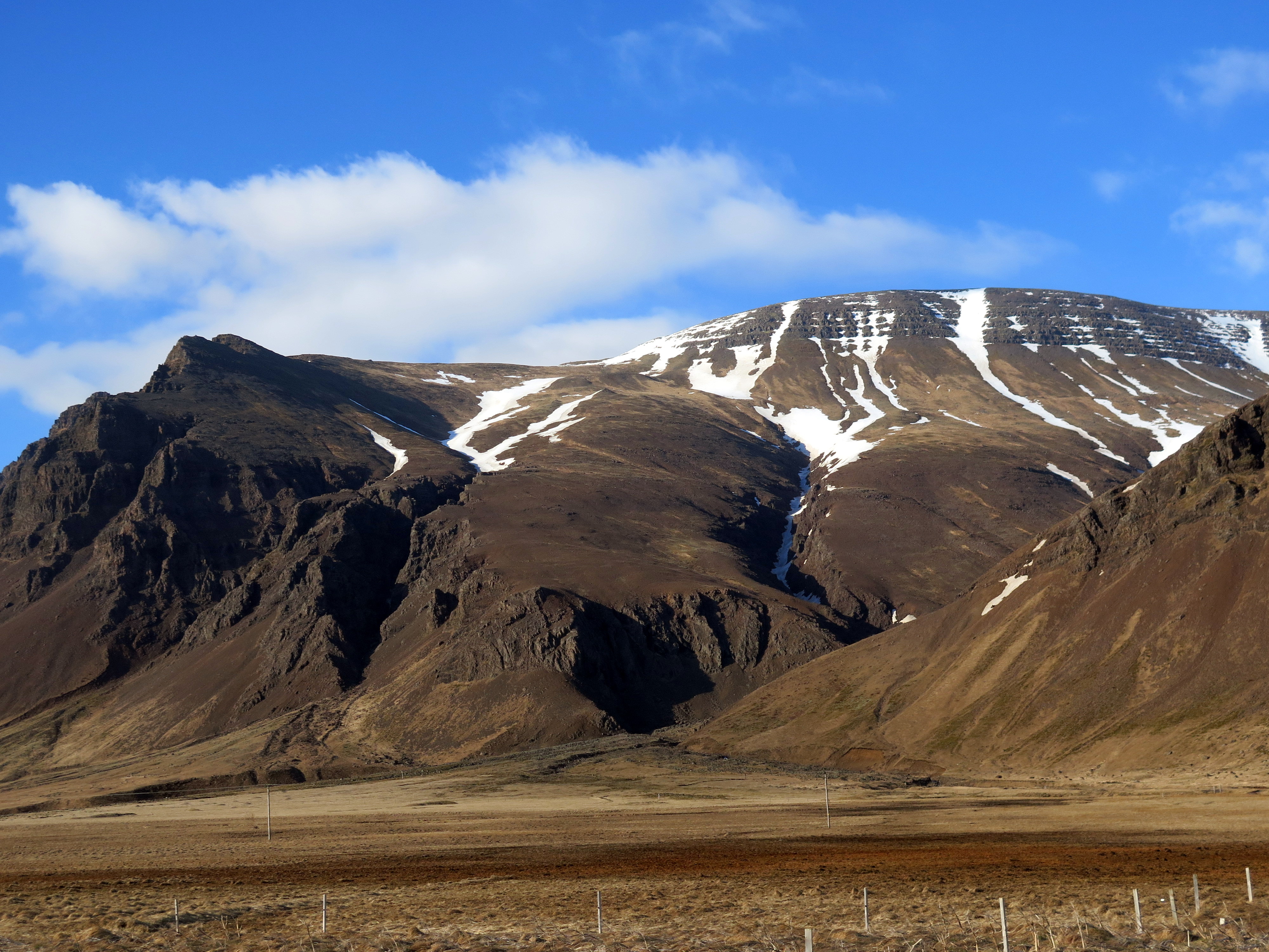
This route is very picturesque. The view from the peak is great and there are plenty of things to see on the way up. Mt. Þorbjörn (243 m), or Þorbjarnarfell as it apparently used to be called, is the town fell of Grindavík, very prominent from the Reykjanesbraut, where it towers over the steam from Svartsengi, known to most as the Blue Lagoon. The fell was formed in two volcanic eruptions in separate ice age periods, traces of which are especially visible in a caldera running through the mountain.
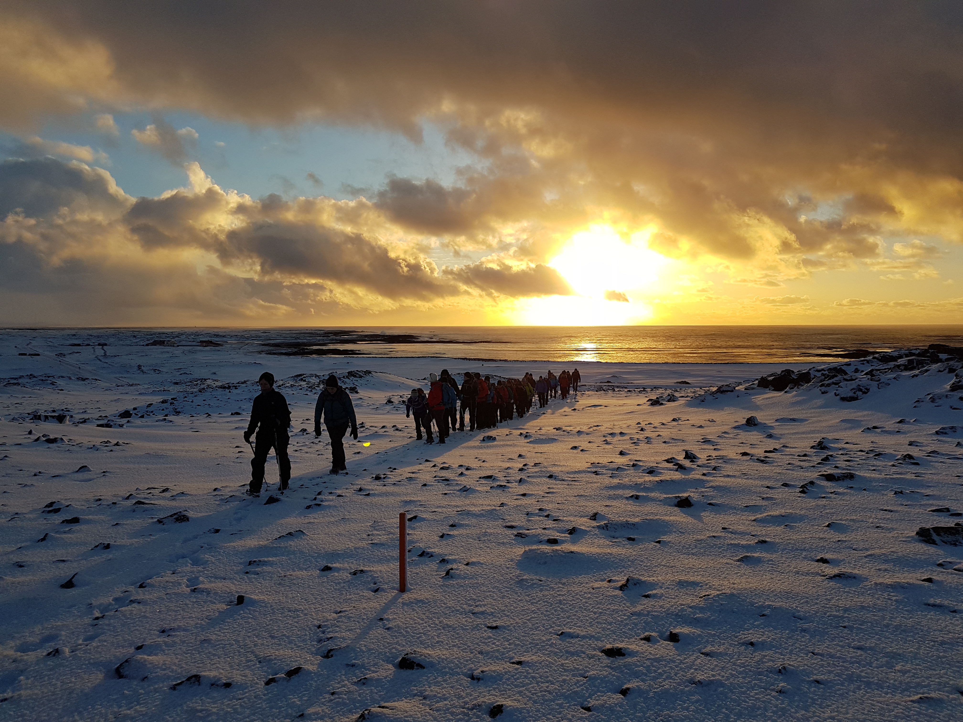
There are a number of different routes to the top. The easiest is to follow the gravel road on the east side, but we set out from the north side, from Baðsvellir. Once up, you can see the remains of barracks since WWII, admire the view, and enter the deep Þjófagjá fissure. Then you walk down on the south side and around the mountain on the west, back to where you started. This route is accessible to most people and there is little snow in the winter time, compared to other places in Iceland. Afterwards, a dip in the Blue Lagoon or the swimming pool in Grindavík is ideal.
Hike up Mt.Þorbjörn with the guidance of the Wapp-Walking app and you get lots of stories and info. The guidance is sponsored by the Reykjanes Unesco Global Geopark.
Leave A Comment