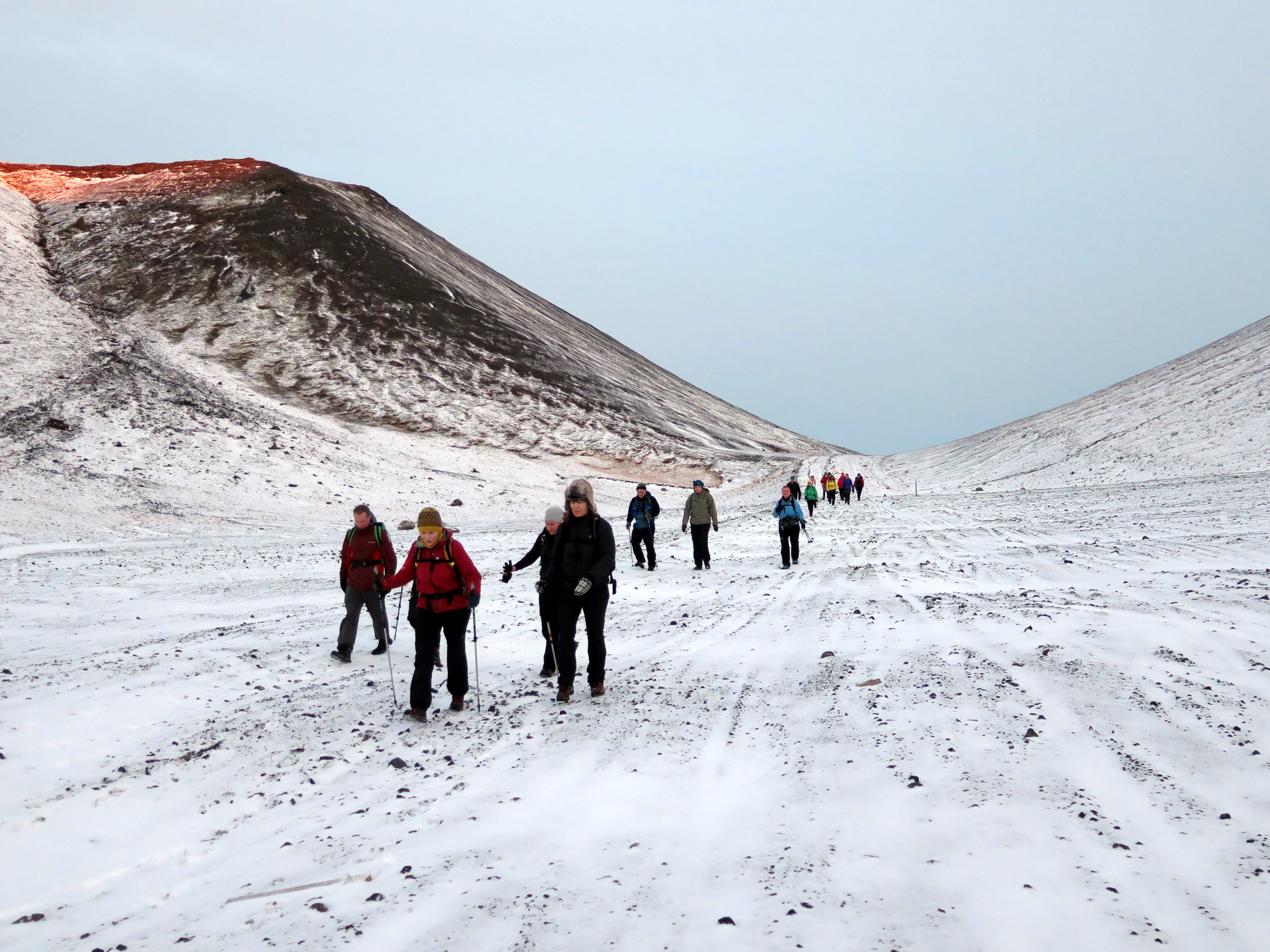
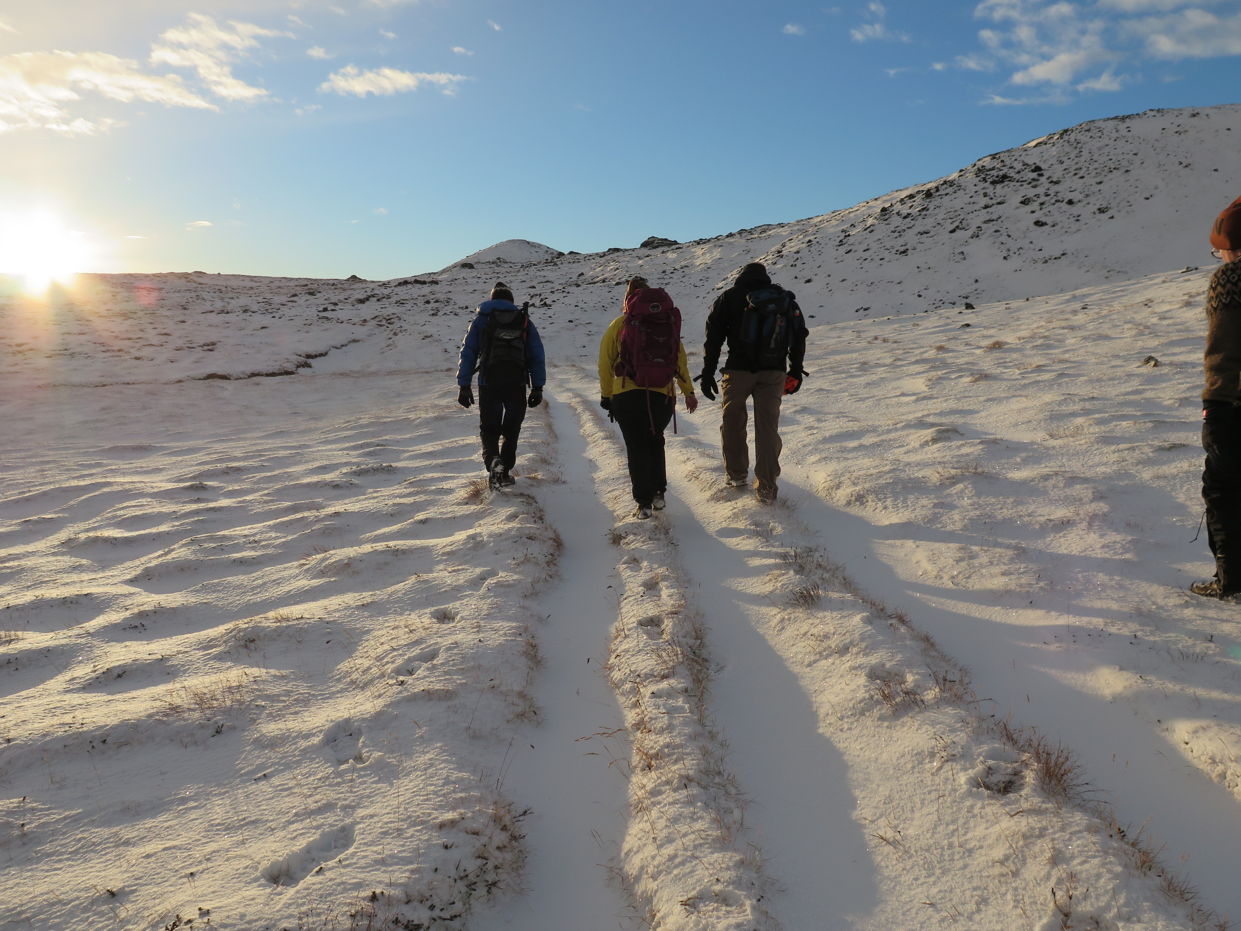
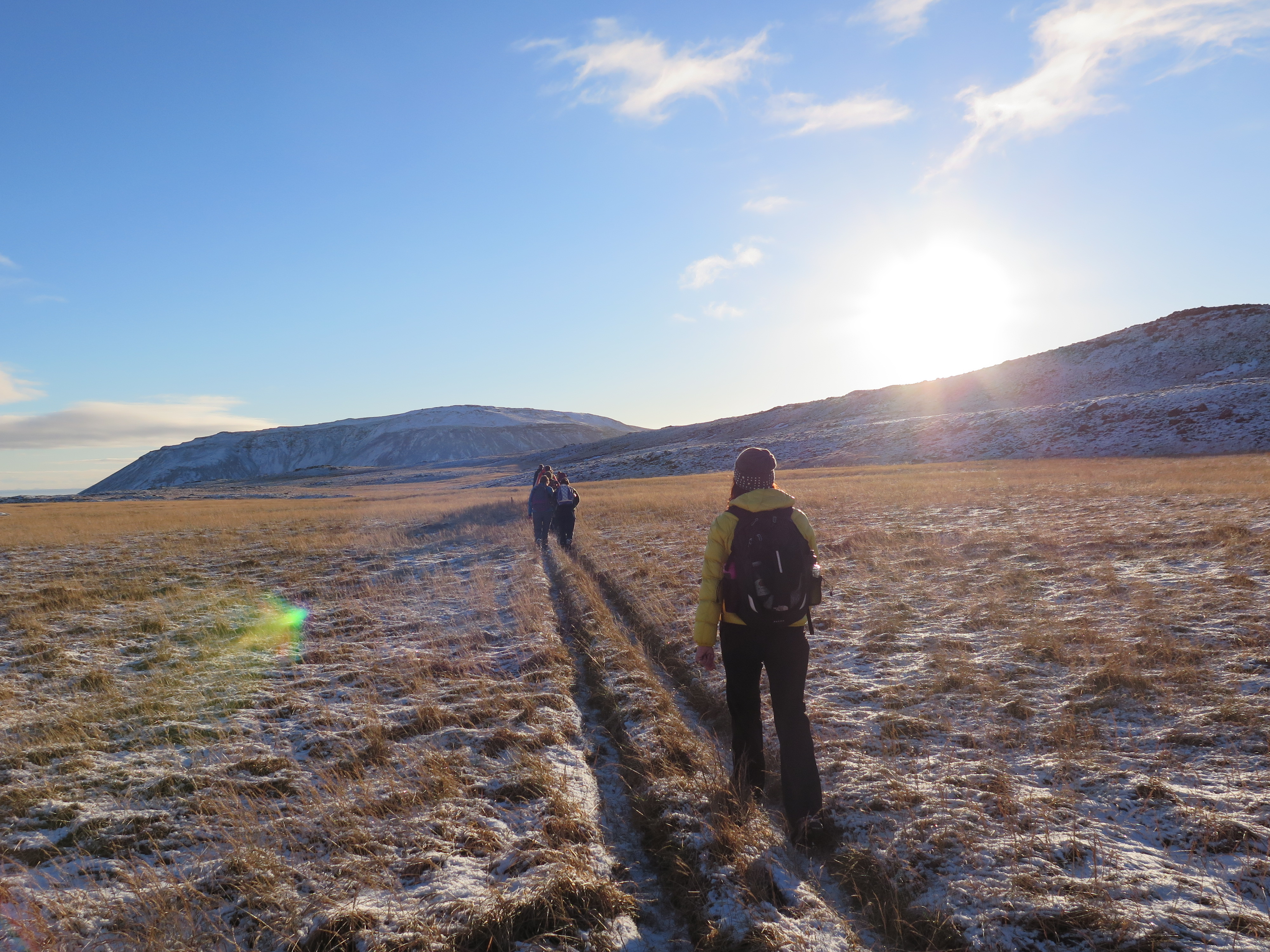
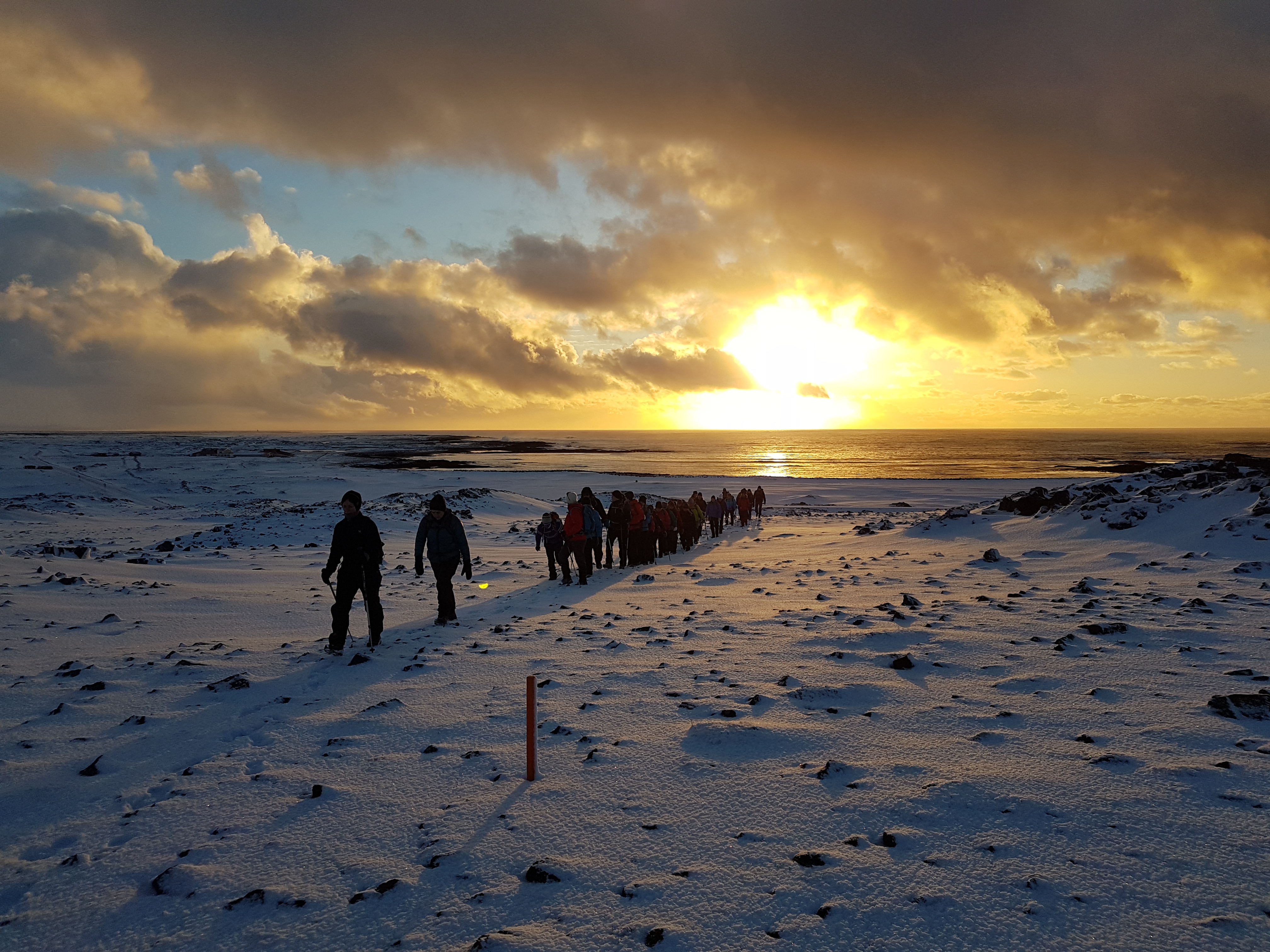
This is one of the old main routes to Reykjavík and lies from Þorlákshöfn and the city. On the way you´ll see lava and the crater Leiti, the beautiful Jósepsdalur Valley, lush grounds and view of the southern coast. The description in the Wapp – Walking app includes stories of Jósep the blacksmith, Ólafur the butler, guerrillas and other tidbits of knowledge. This is an easy hike but fairly long, with no water anywhere, so you´ll need to carry it with you. The photos were all taken in the month of November.
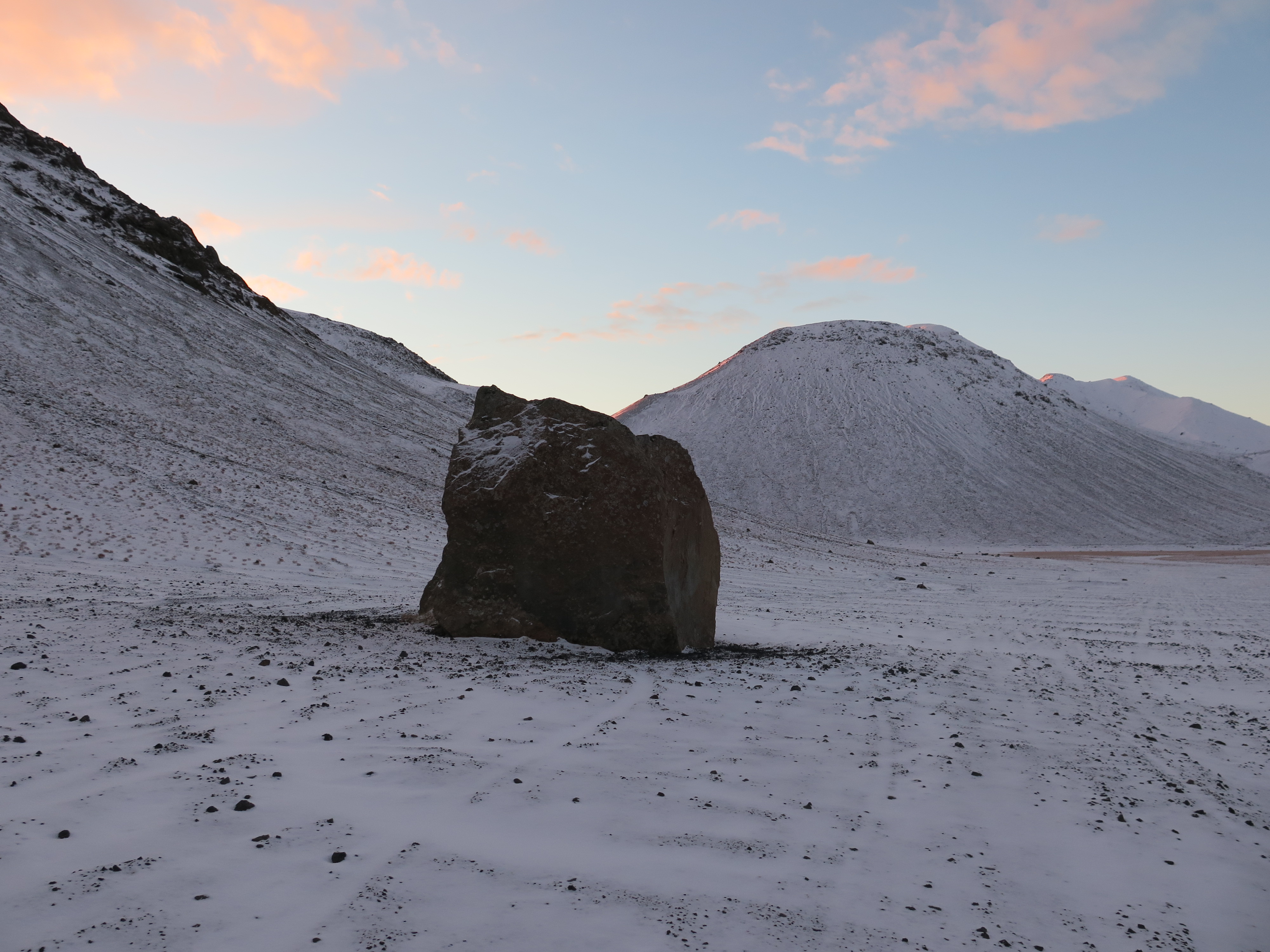
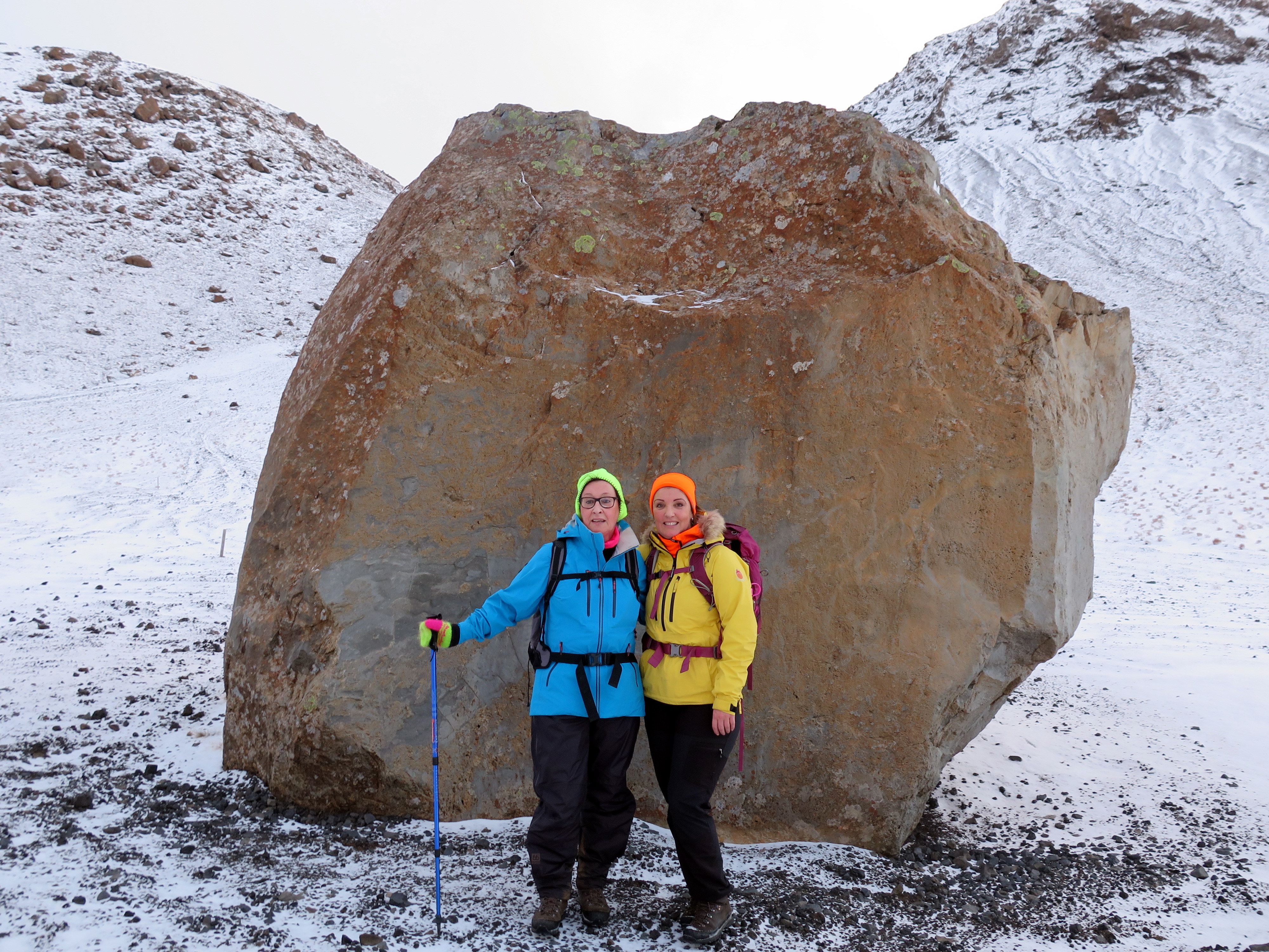
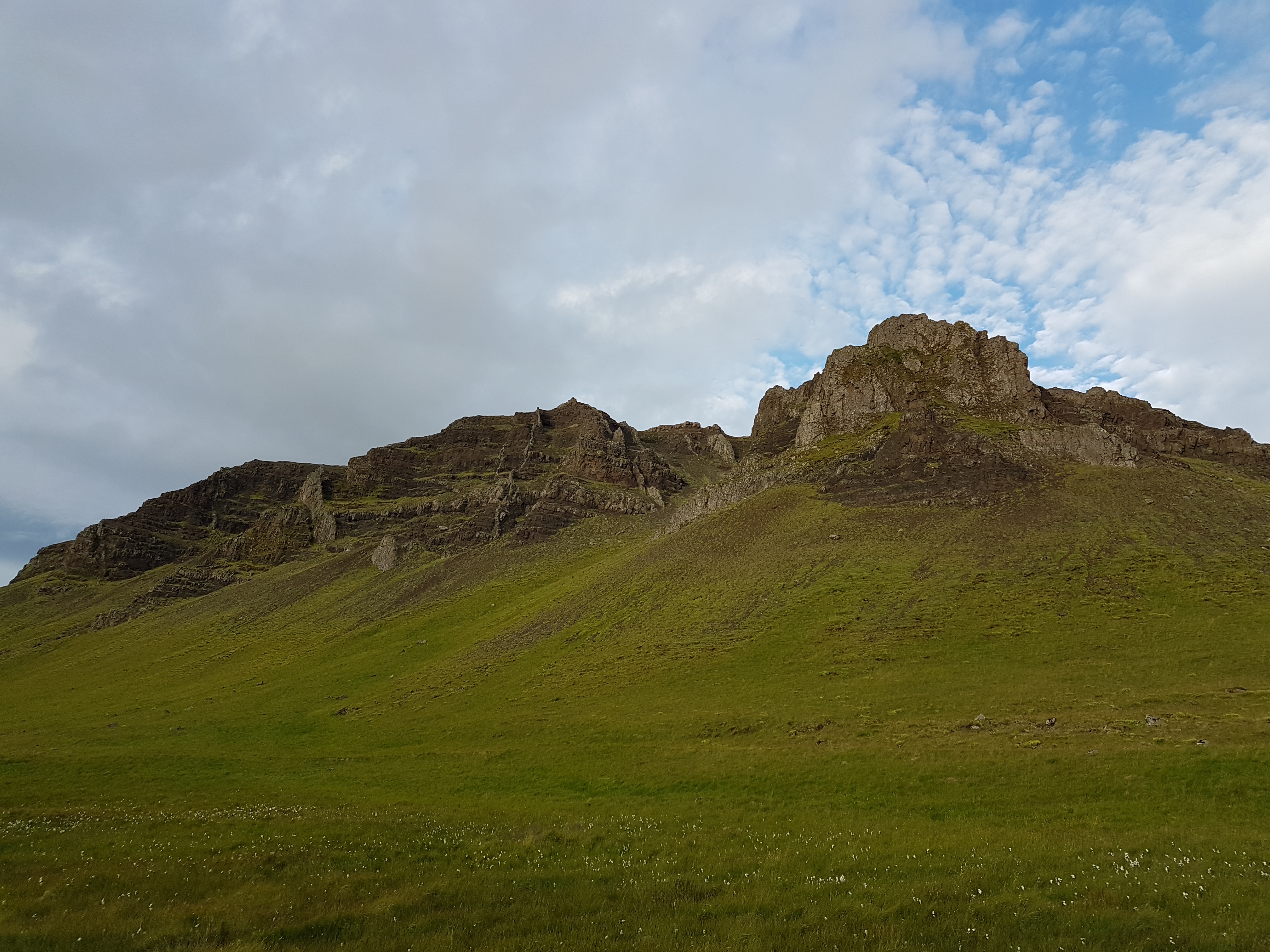
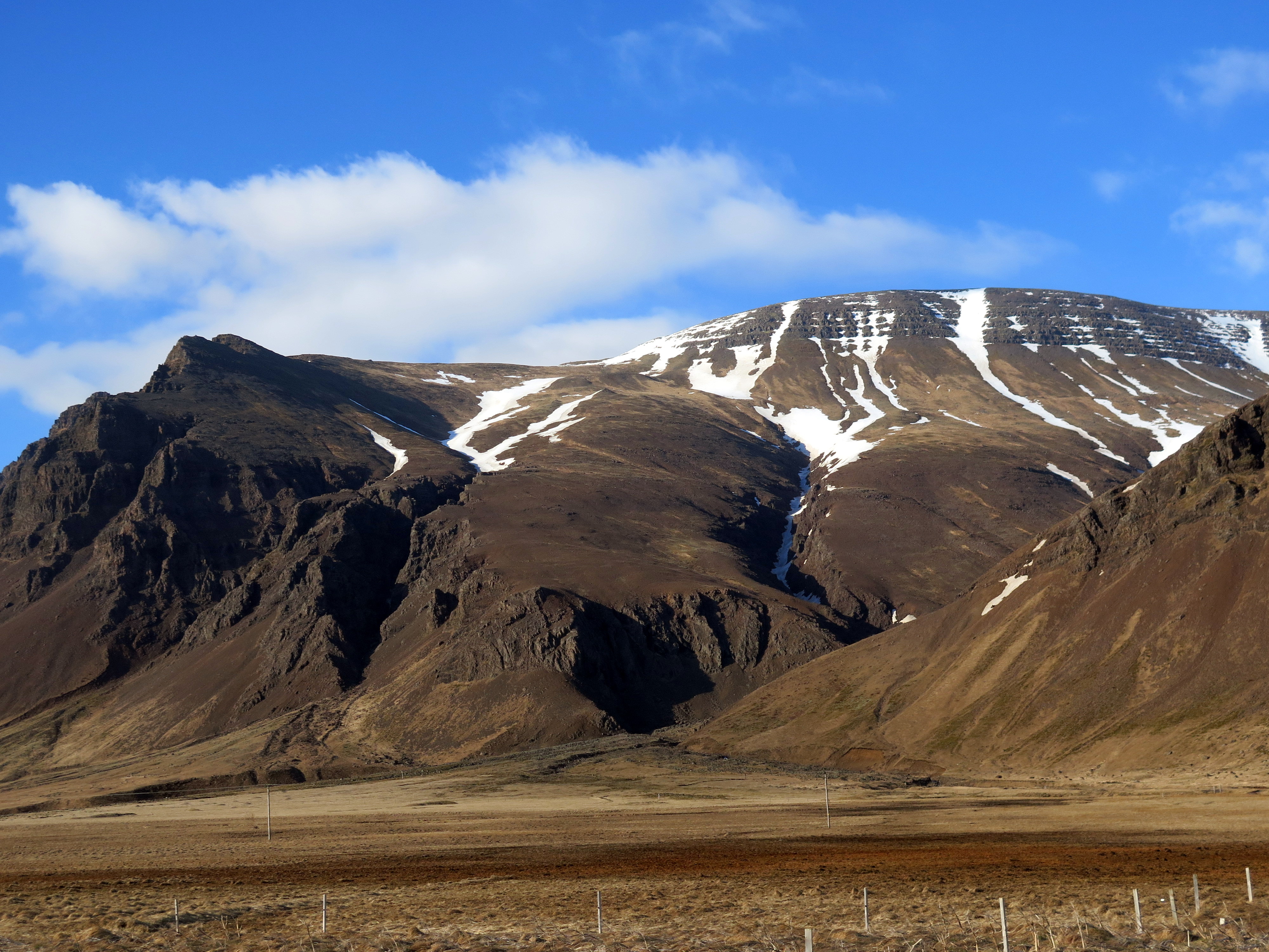
The valley of Jósep is mostly narrow and secluded. The bottom is flat, the mountain slopes marked with screes and rather steep, but the contrasting dark tuff, light sand and green vegetation is beautiful. Winter sees a lot of snow, and the valley was used as a skiing area for Ármann Sports Union from 1930 and up until 1970. Ármann´s ski cabin stood beneath the southernmost Ólafsskarðshnúkur and its foundations are still visible. There was actually two ski cabins, the first one burned down and another one was erected, sleeping over 100 people. Four smaller cabins were also built in the valley, by people connected with Ármann. One of these cabins gets a mention in this description.
When you come through Ólafsskarð you´ll see a hut on your left called Skæruliðaskáli (The Guerrillas’ Cabin). The Guerrillas was the name of the group which built the cabin in Ólafsskarð. This was a group of craftsmen which skied in Jósepsdalur and the group derived its name from its habit of cleaning the toilets in Ármann´s cabin after the weekends and the endless struggle to stop people from urinating all over the place. They also wanted to minimise the waste, as it had to be carried far down into the valley. The Guerrillas felt more space was needed for those who wanted to stay overnight so they built this cabin, which was quite a feat as all the materials needed to be carried up to the pass. One of them allegedly took off when a gust of wind lifted the plate of corrugated iron he was carrying. The building started in 1946 and the cabin was in full use until about 1970 when it fell into disrepair. In 2009, a group of outdoor activists started renovating it, although the work is not finished and perhaps never will…

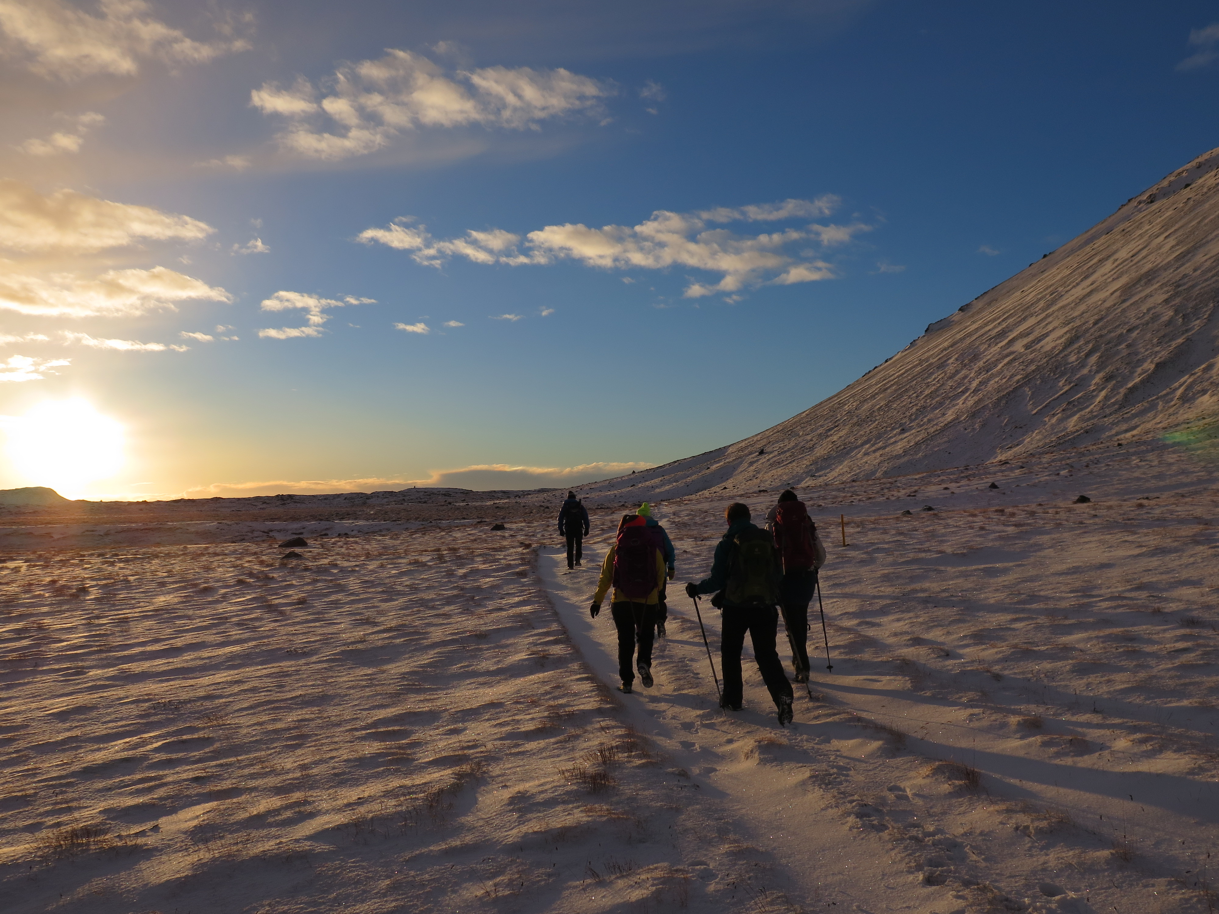
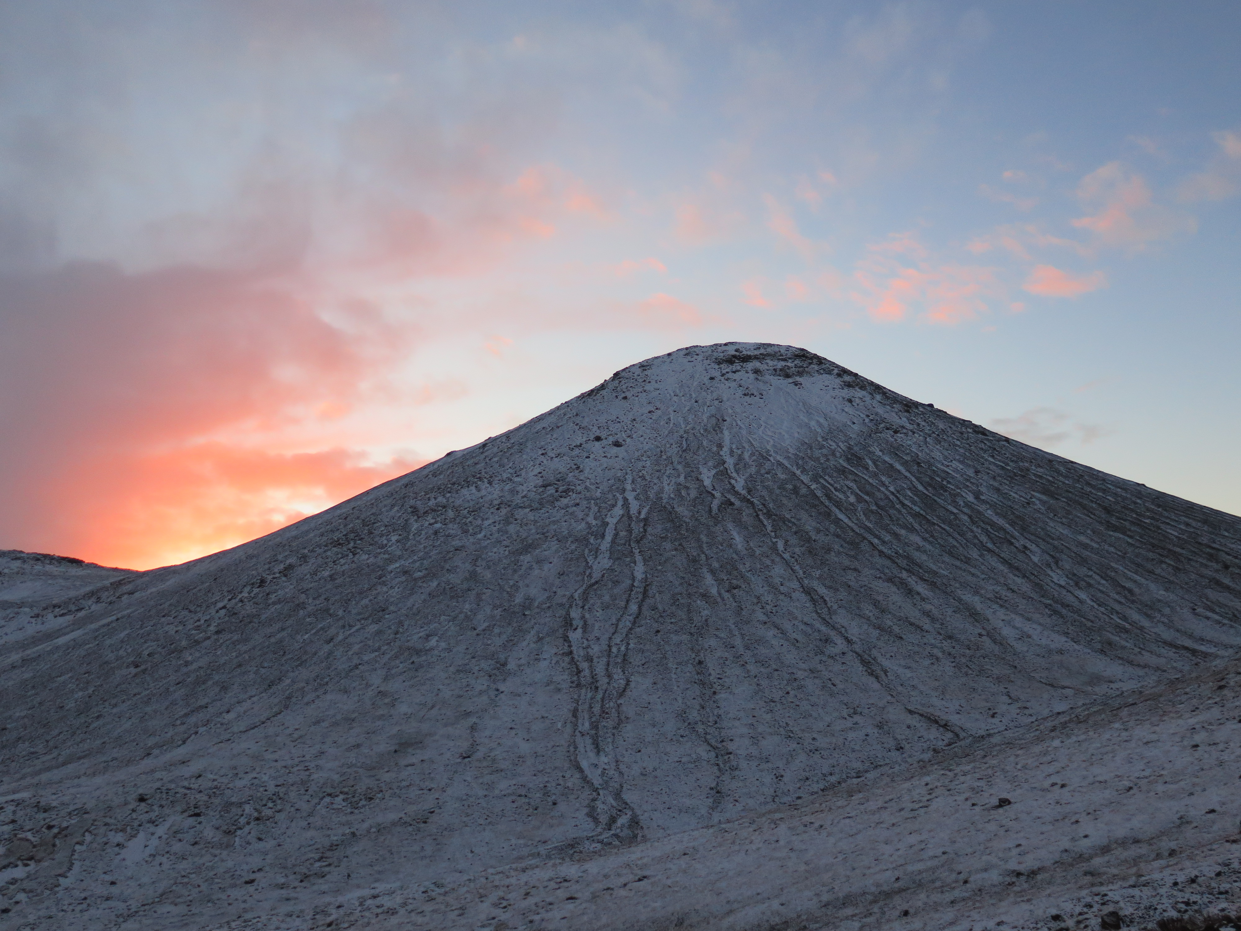
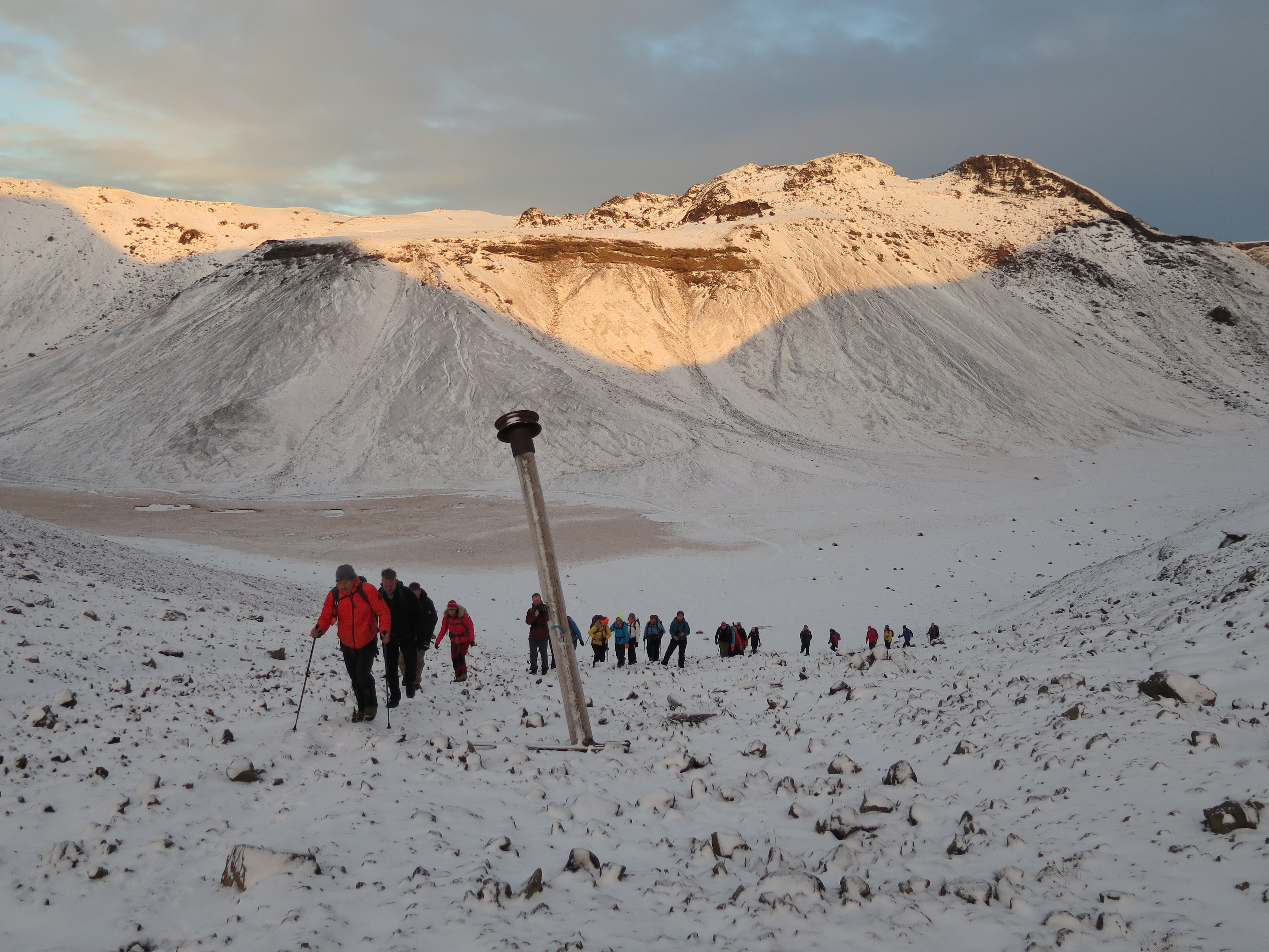
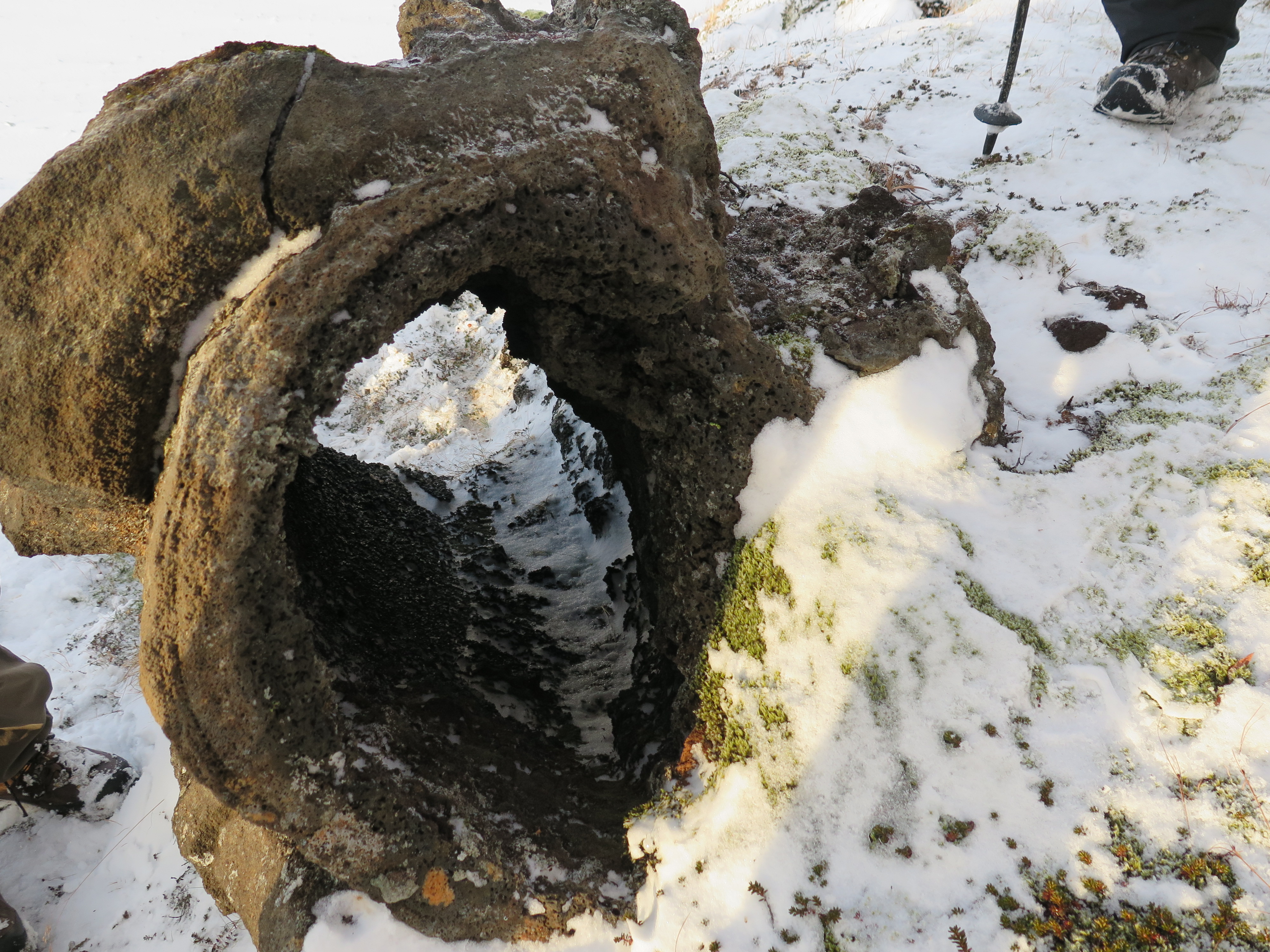
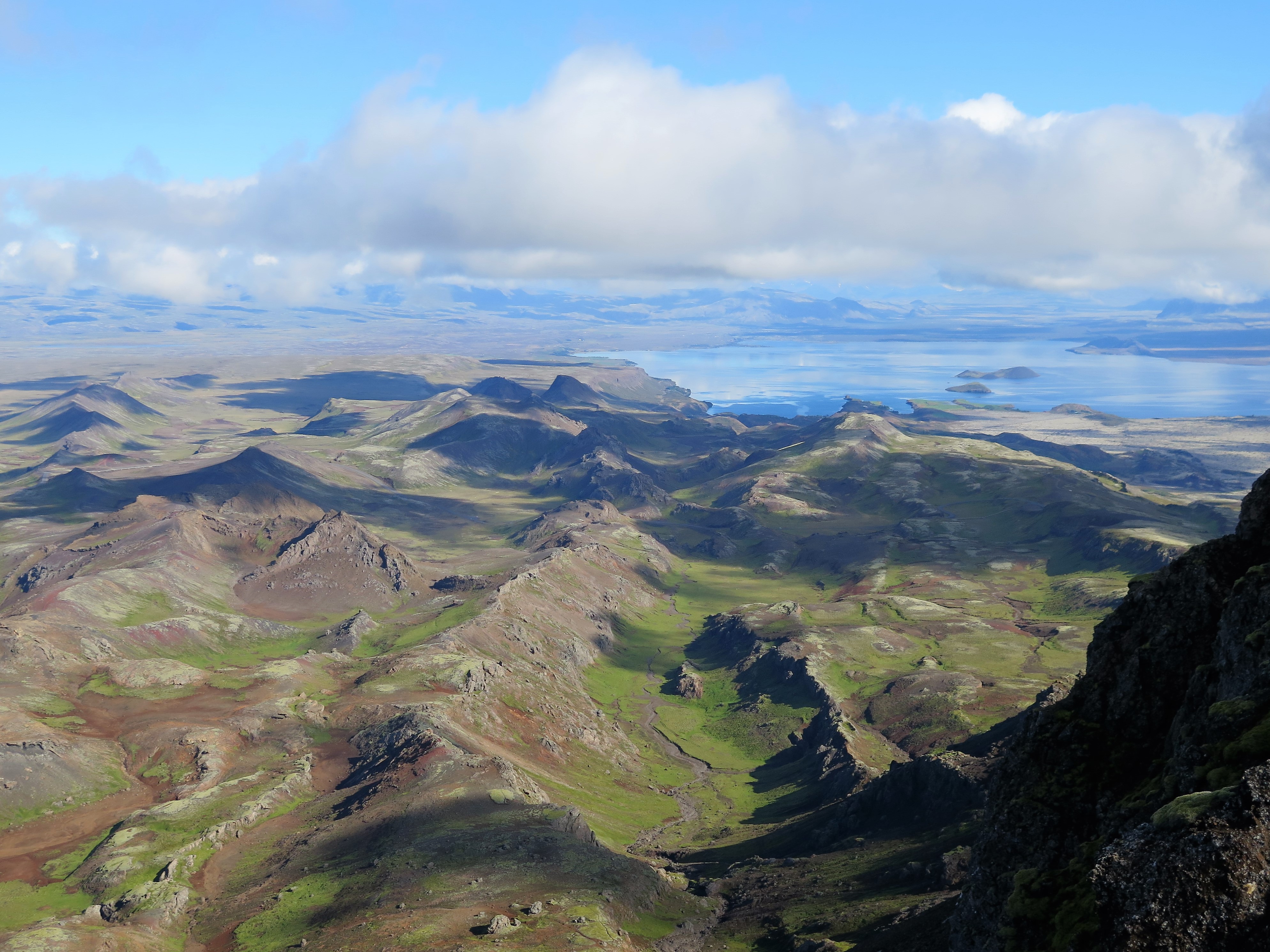
You walk up the famous crater Leiti, which erupted almost 5000 years ago. From here the lava flowed along Sandskeið and Fóelluvötn Lakes to the west, down to Hólmsá and formed Rauðhólar, along Elliðaá River and down into Elliðavogur in Reykjavík. It flowed into Ölfus in the east and probably all the way down to Þorlákshöfn coast. The lava field measures over 100 km2. At the edge of the crater there are some interesting elongated and hollow lava formations, caused by the release of gas. From Leiti you head up to the Bláfjöll ridge, with a great view of southern Iceland.

In the old days, this was a popular resting spot for riders, the horses could rest and eat in Hrossaflatir (Horse Fields). It is not altogether unbelievable that the men also took some refreshment, even in the form of alcoholic beverages.
Leave A Comment