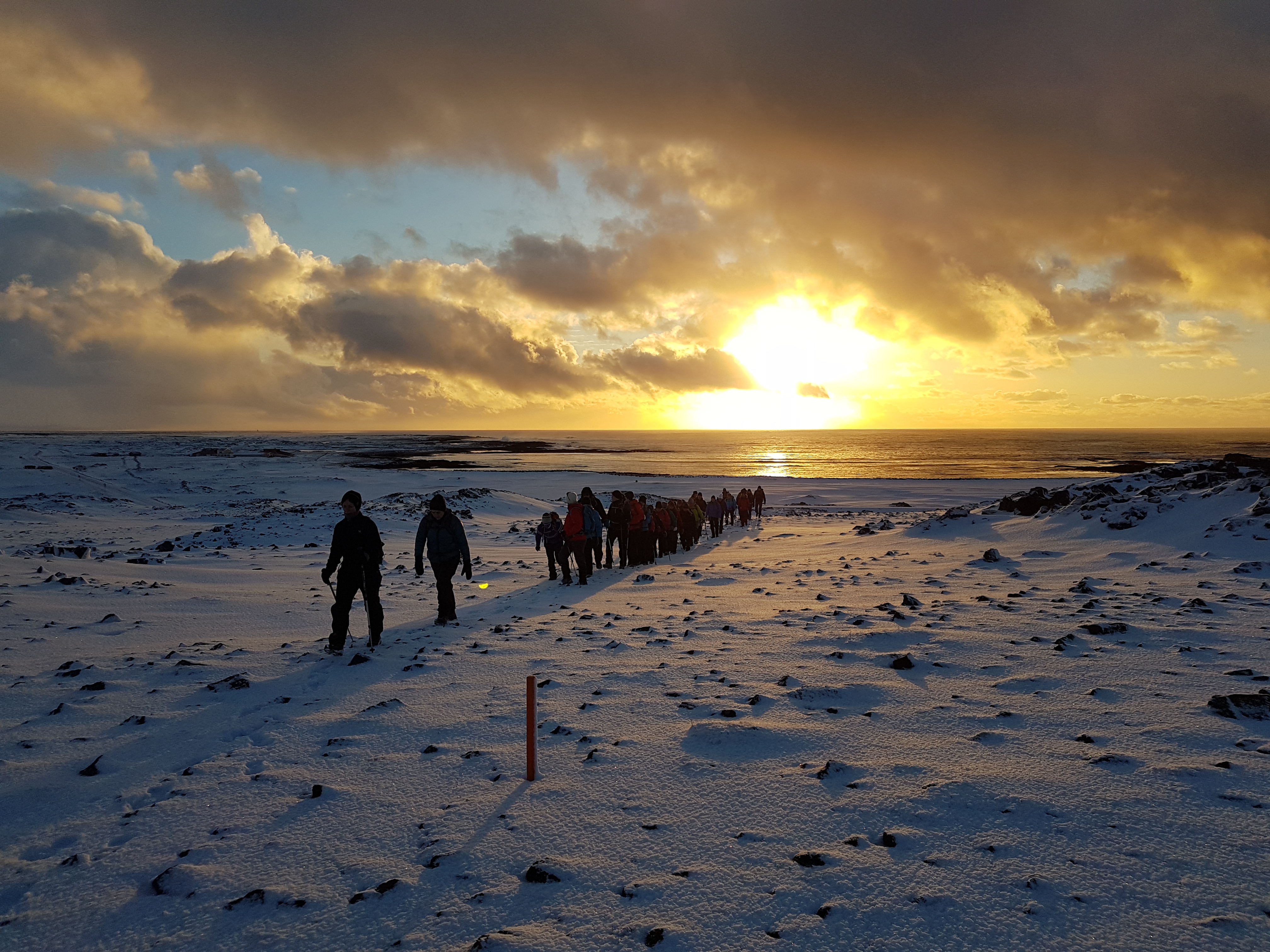
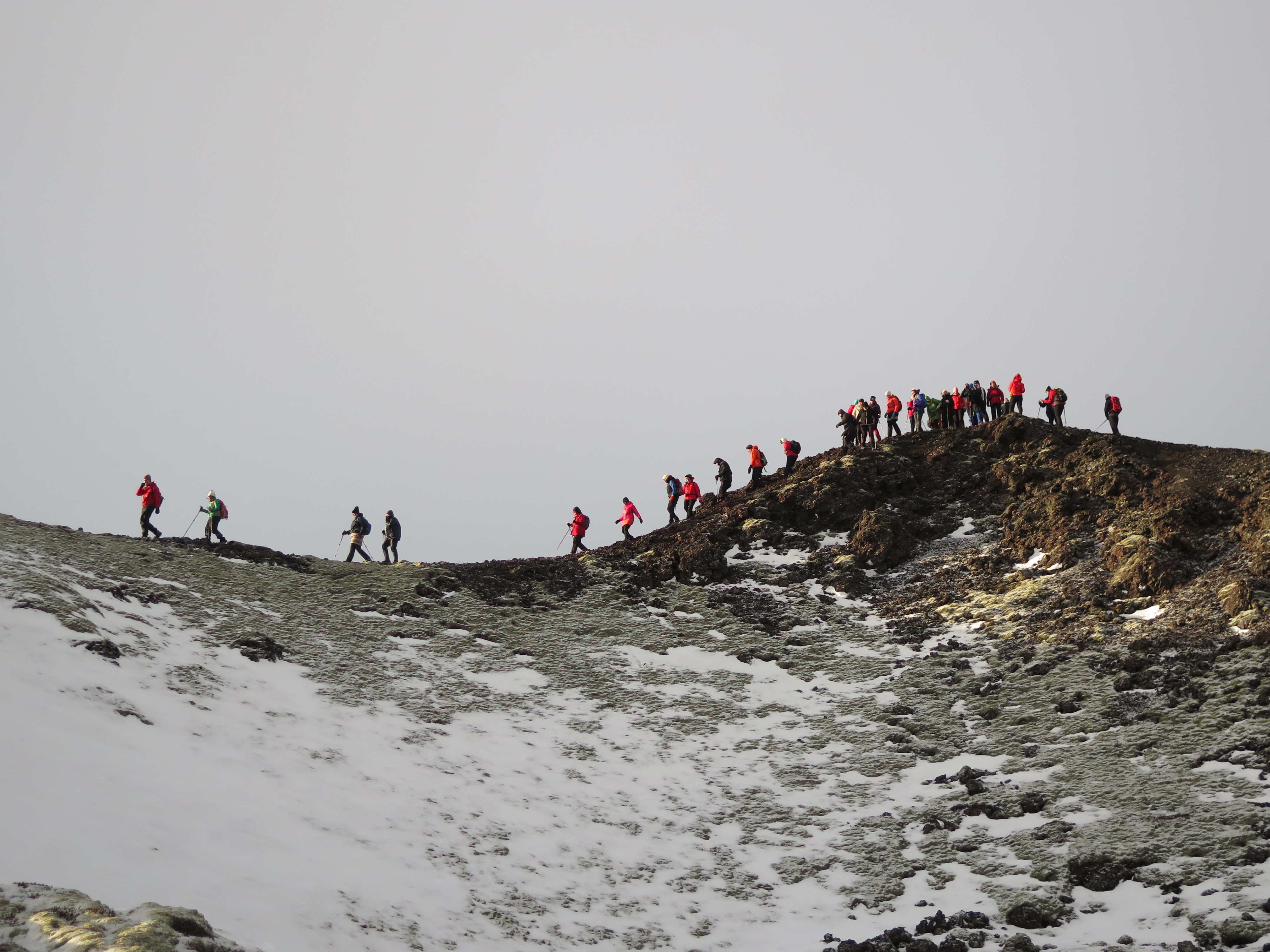
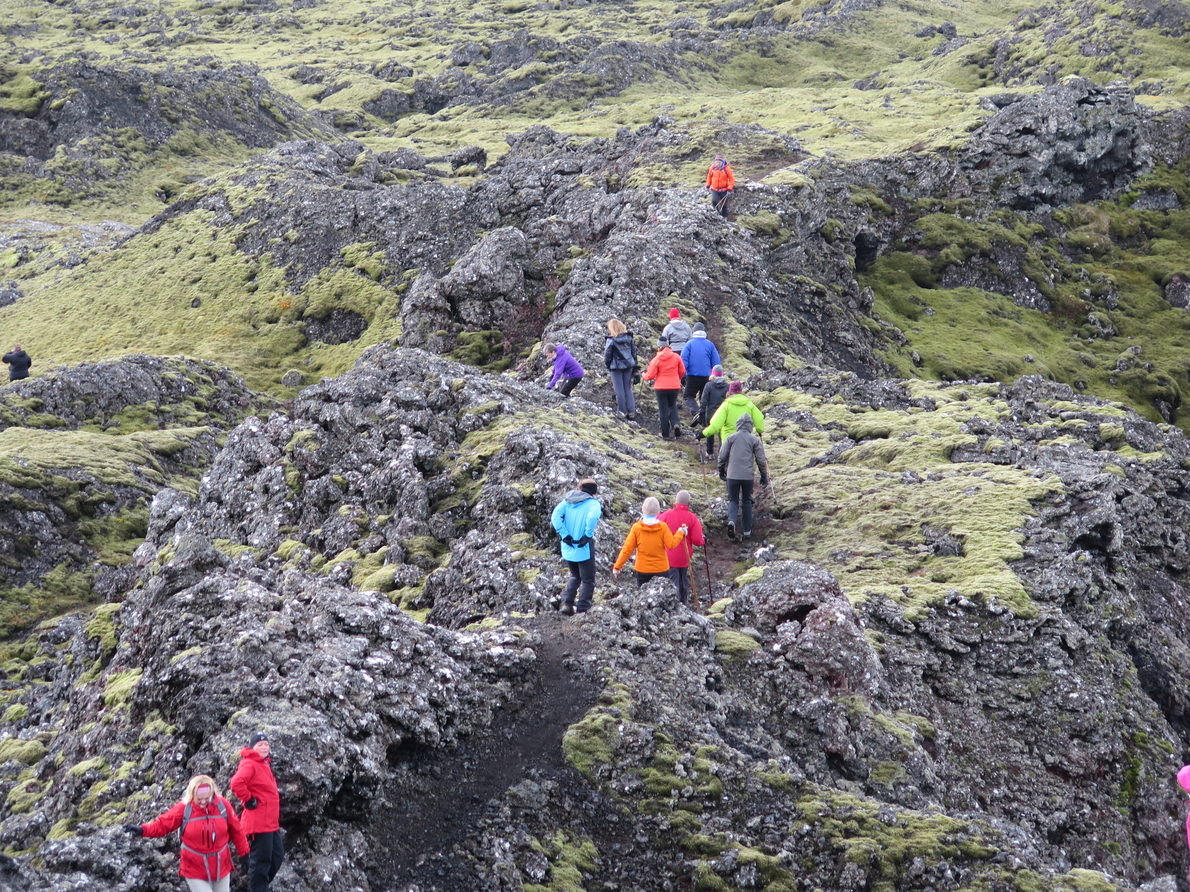
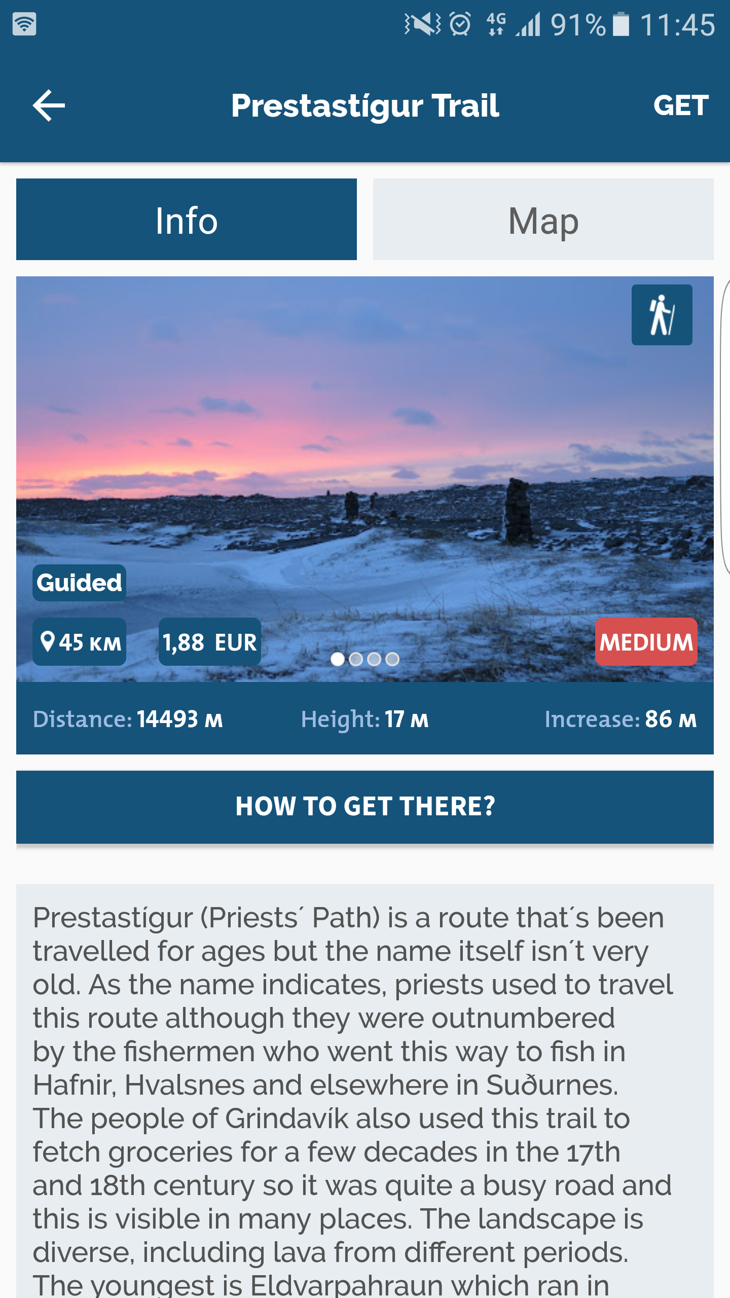
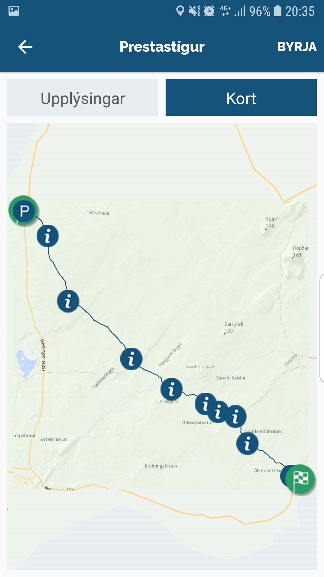
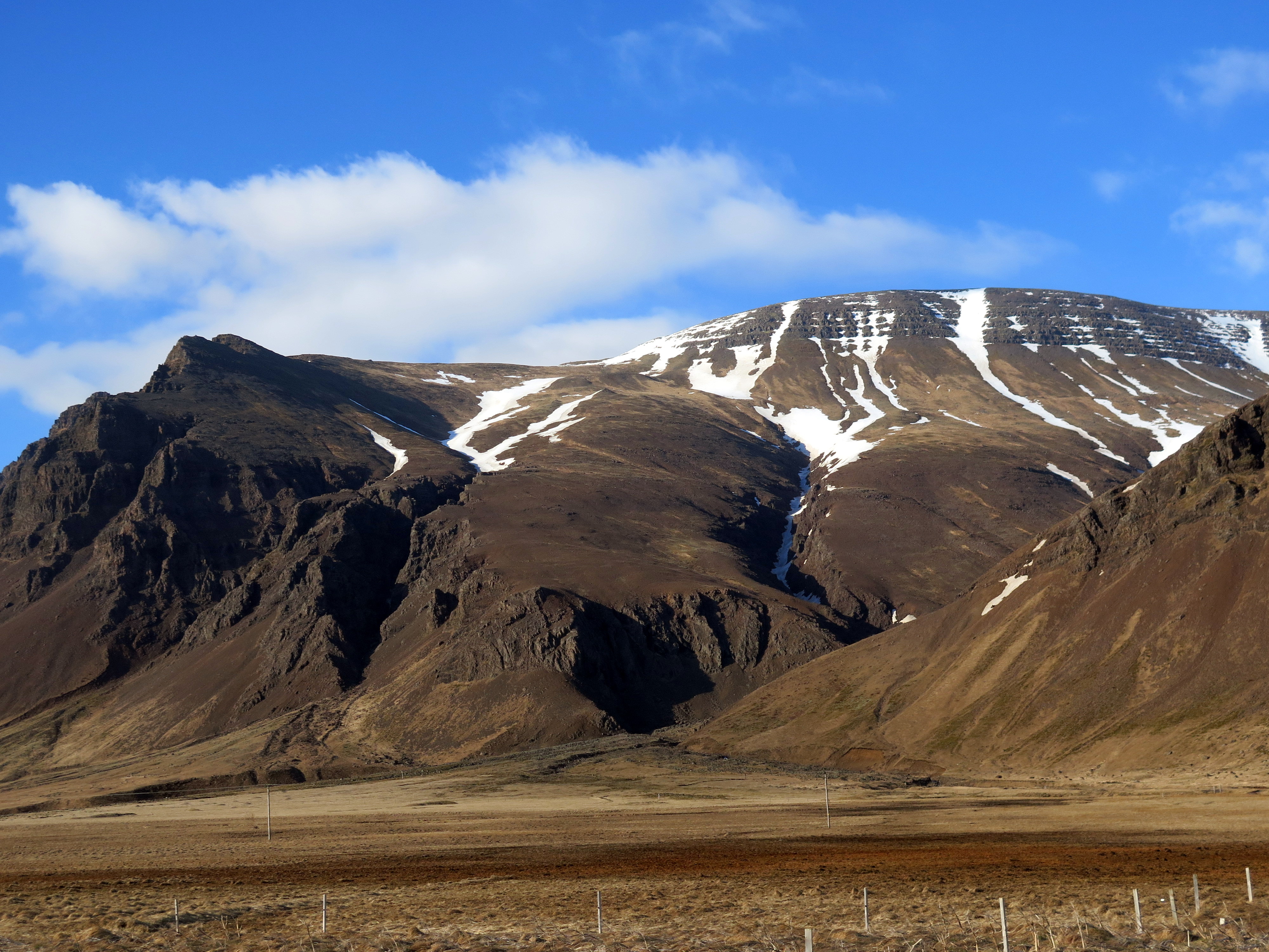
Prestastígur (Priests´ Path) is a route that´s been travelled for ages but the name itself isn´t very old. As the name indicates, priests used to travel this route although they were outnumbered by the fishermen who went this way to fish in Hafnir, Hvalsnes and elsewhere in Suðurnes. The people of Grindavík also used this trail to fetch groceries for a few decades in the 17th and 18th century so it was quite a busy road and this is visible in many places. The landscape is diverse, including lava from different periods. The youngest is Eldvarpahraun which ran in the first half of the 13th century, its craters are impressive. The continental drift is also clearly visible, Haugsvörðugjá is a typical rift valley, and there are many fissures. The trail starts at Kalmanstjörn and lies through Hafnarsandur north of Presthóll (Priest´s Hill), down into the rift valley above Stóra-Sandvík, past Haugur and over Haugsvörðugjá, along the roots of Sandfellshæð and there you can use a trail which lies almost parallel to the old road along the edge of Eldvarpahraun. You then walk through the lava, past Rauðhóll and Eldvörp and some smaller fissures and crevices until you get down on the west side of the golf course in Húsatóftir. This is a diverse and interesting route, accessible all year, and it´s marked both by cairns and posts. Note that in winter snow can blow over the fissures and hide them from view. Also, the trail ends in a different place from where it started so you need to double the distance and time if you mean to walk the same way back.
Following are bits of information taken from the description in this route in the Wapp-Walking app.

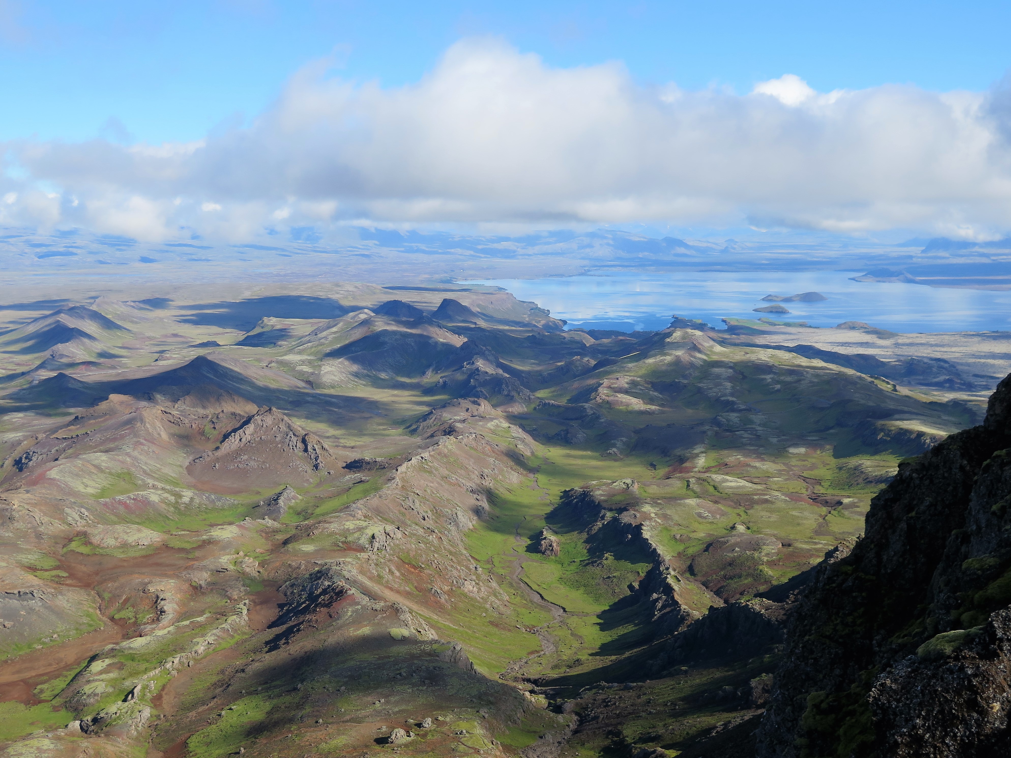
In Haugsvörðugjá the rift between the Eurasian and the North American plates is very clear. The plates drift apart about 2 cm annually, so the land here is ever changing. Down in Haugsvörðugjá there is a caldera. The best known caldera in Iceland is the one in Þingvellir between Almannagjá and Hrafnagjá, with Lake Þingvallavatn at its bottom. The remains of old slag craters are at the edge of Haugsvörðugjá, they have long since lost their shape and resemble small hills or mounds (haugar). That´s where the place gets its name from, the original Haugur is just north of Prestastígur on the western side.
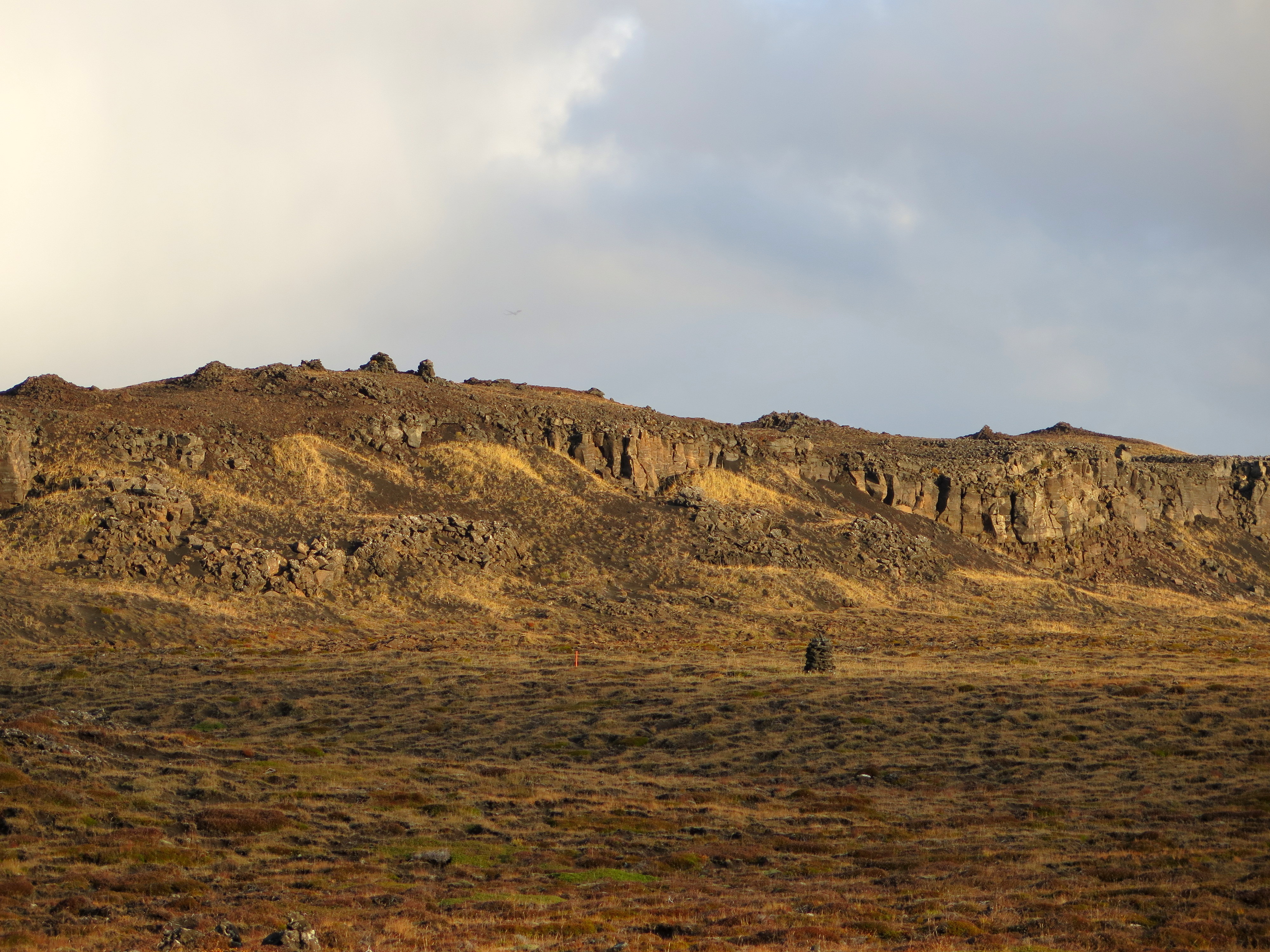

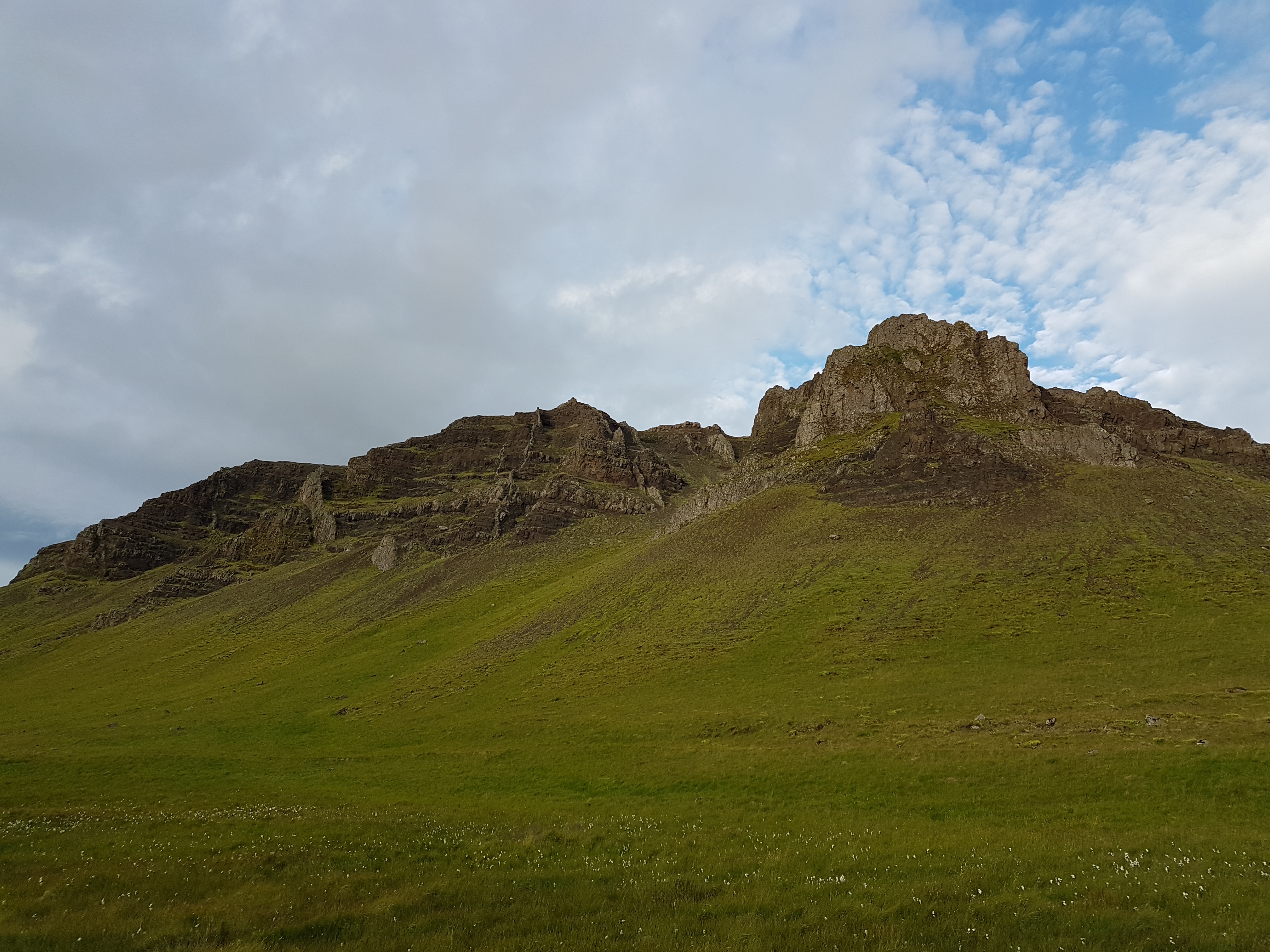
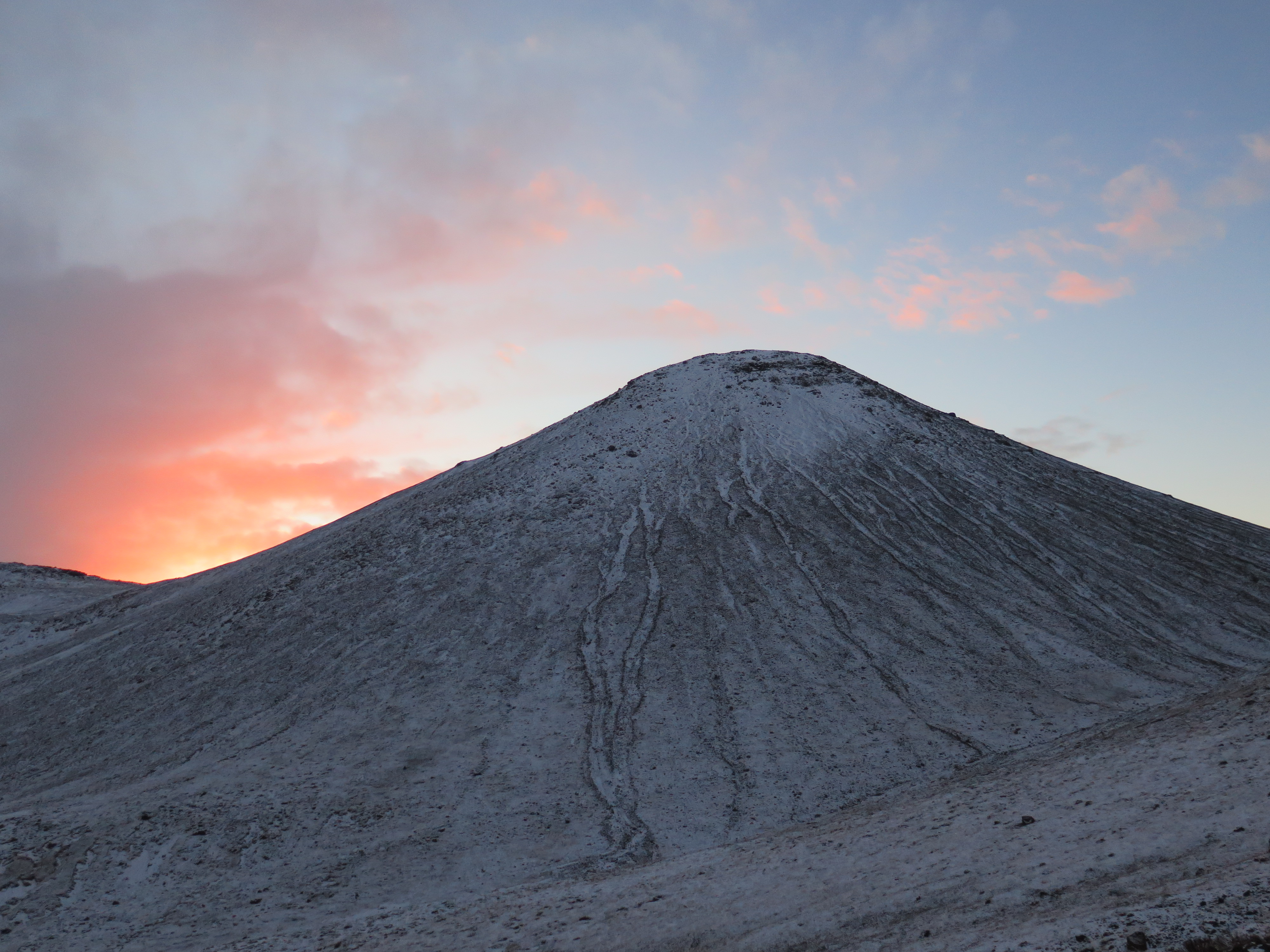
The row of craters called Eldvörp stretches for around 10 km from northeast to southwest. Prestastígur lies through the southern end of it, a few of the craters are south of the trail. These are beautiful and well preserved slag and scoria craters and it´s well worth it to veer off the path to take a closer look at them but be careful and treat the nature with respect. The Eldvörp eruption lasted intermittently for about a decade during the first half of the 13th century and reached its climax in 1226. The lava from the eruption is about 20 km2 in size.
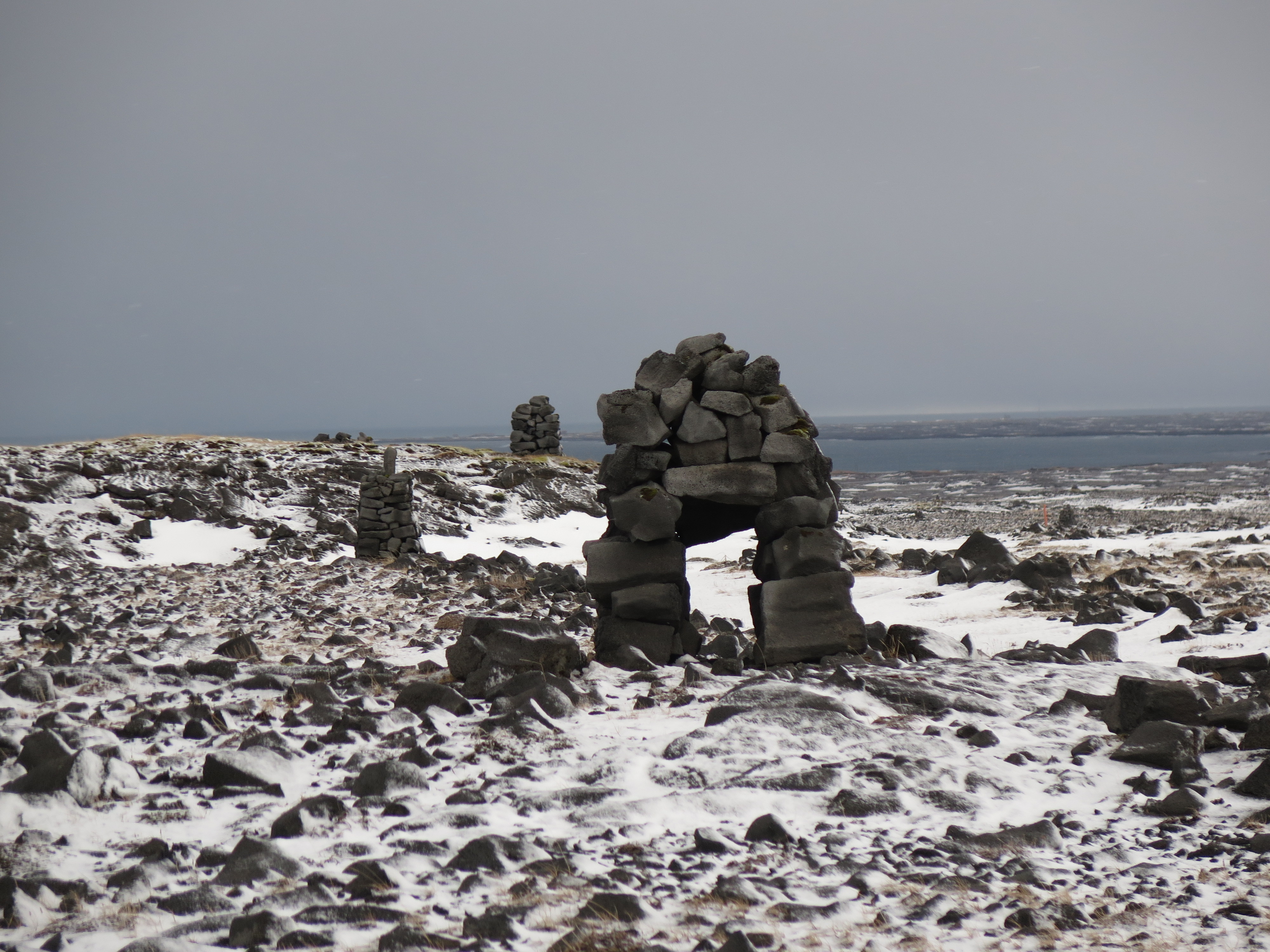
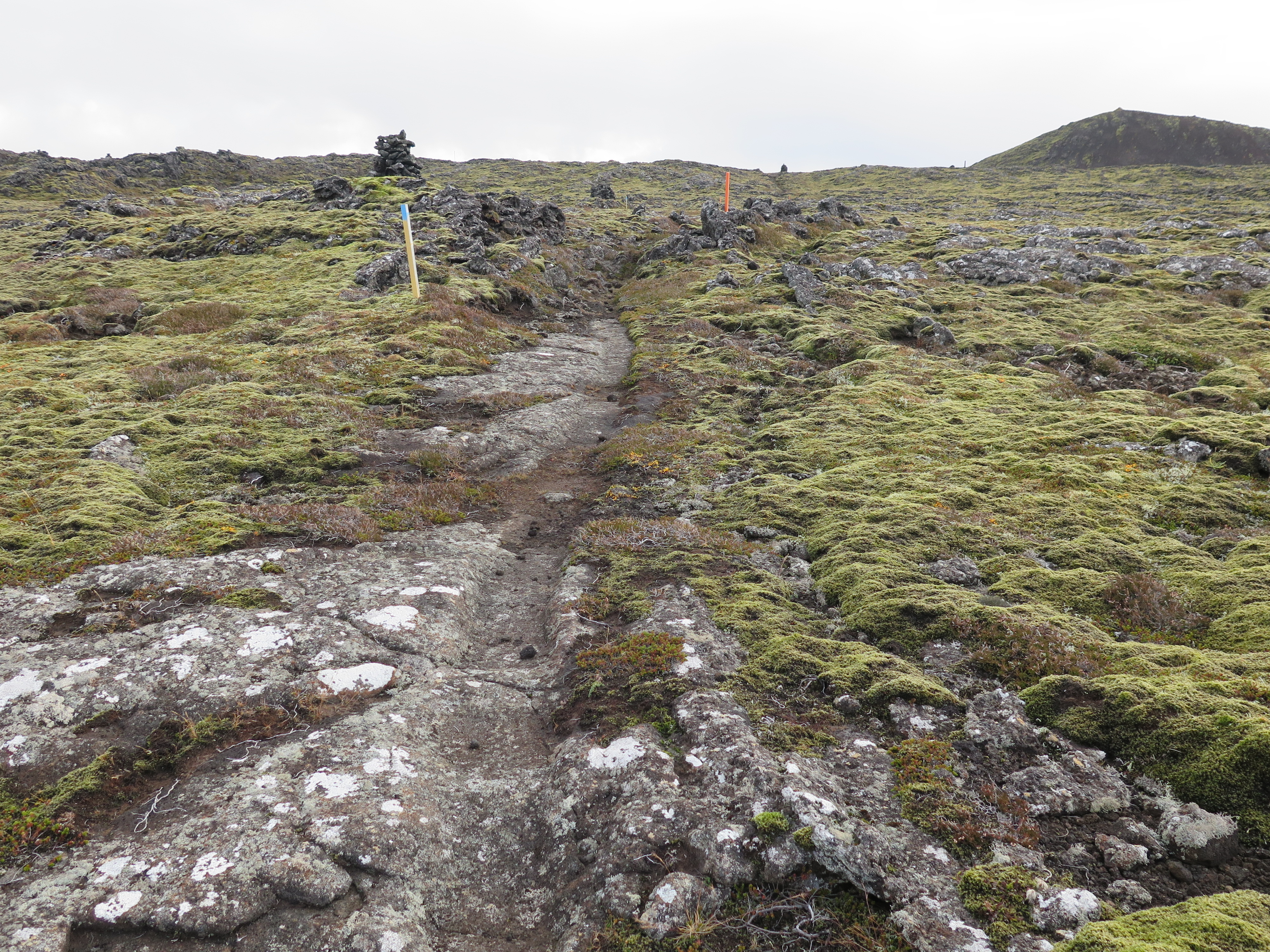
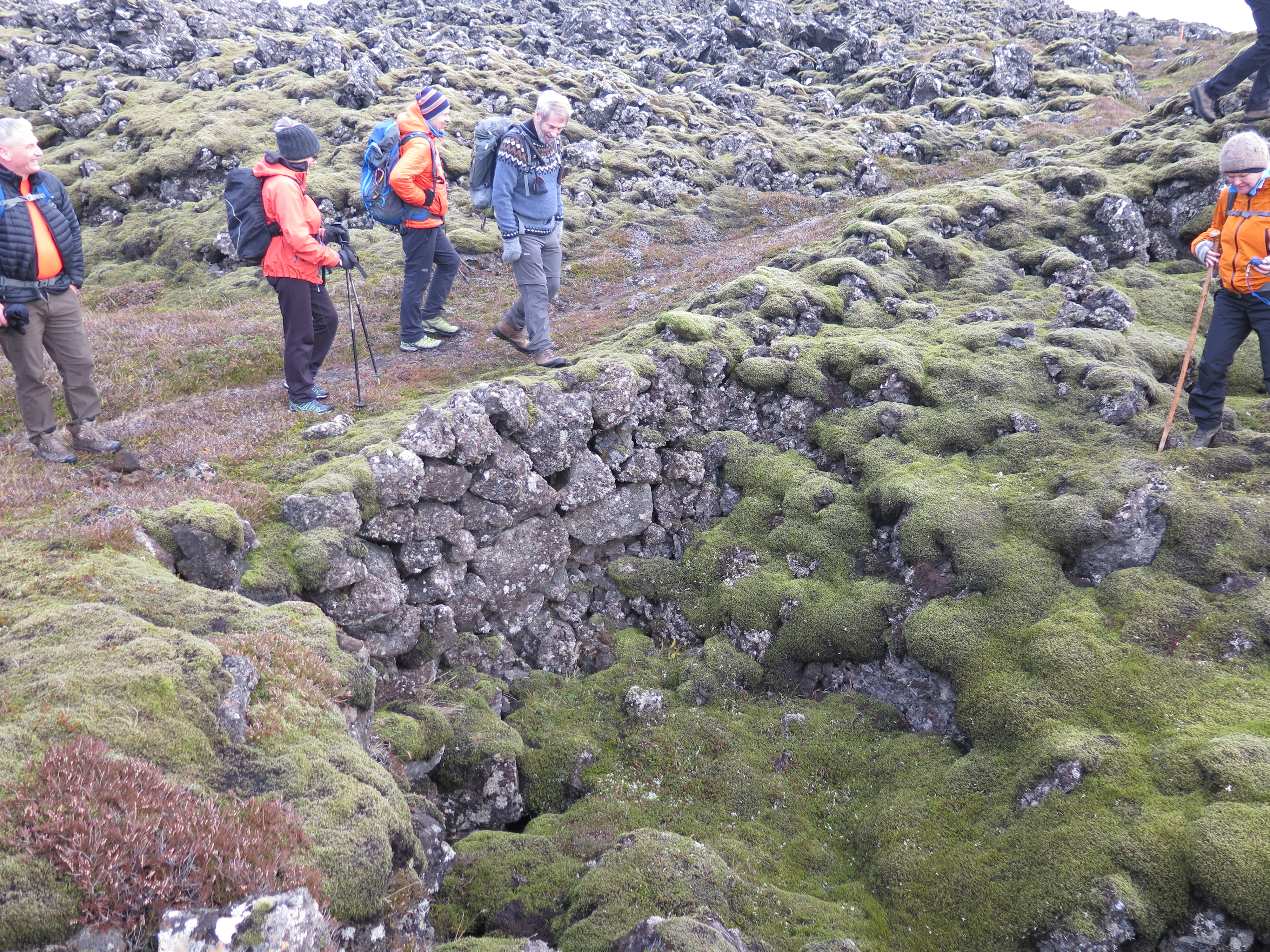
Towards the end of the 19th century there was great advancement in road building in Iceland even though we would only call it trail building today. In some cases the work was obligatory for the citizens, in other cases they got paid for it. Prestastígur bears clear signs of rocks having been cleared from the path and stacked up to form bridges of sorts across some of the fissures. Keep your eyes peeled for this when you cross the fissures.
Leave A Comment