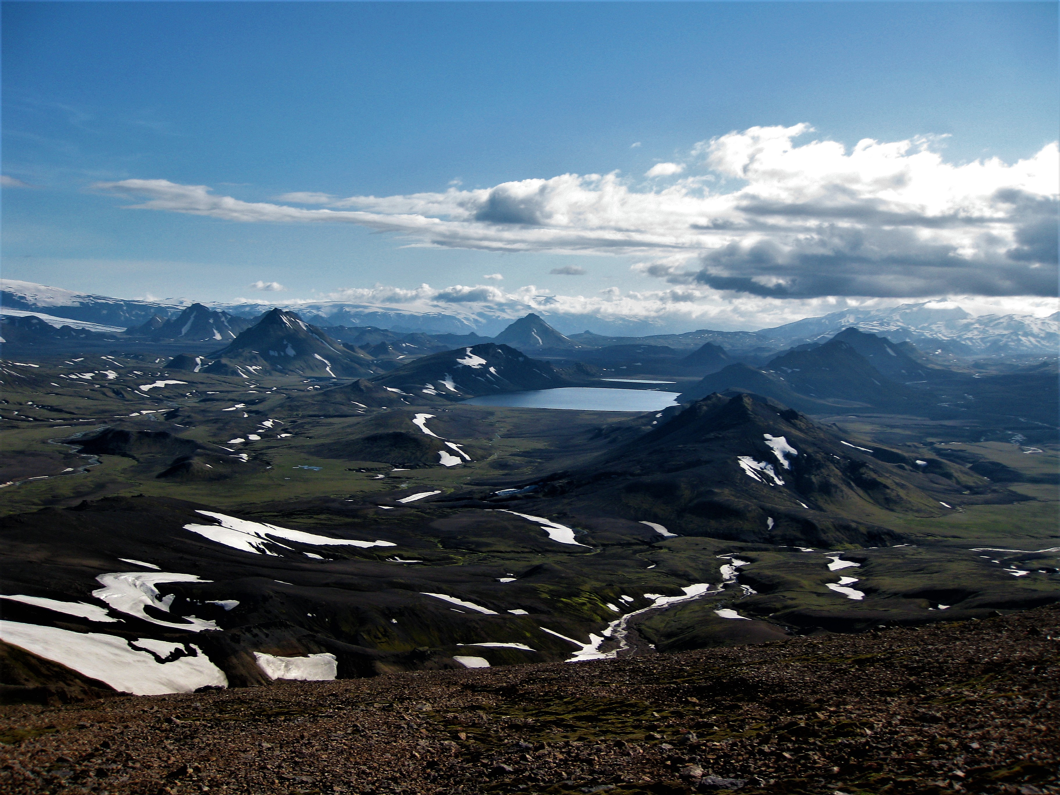
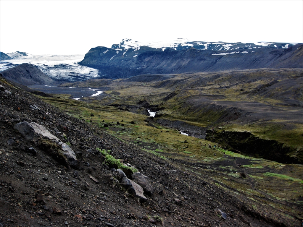
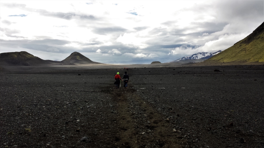
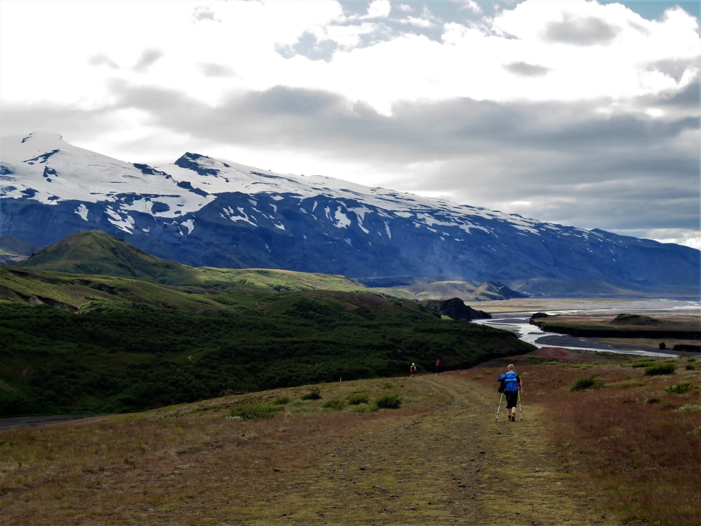
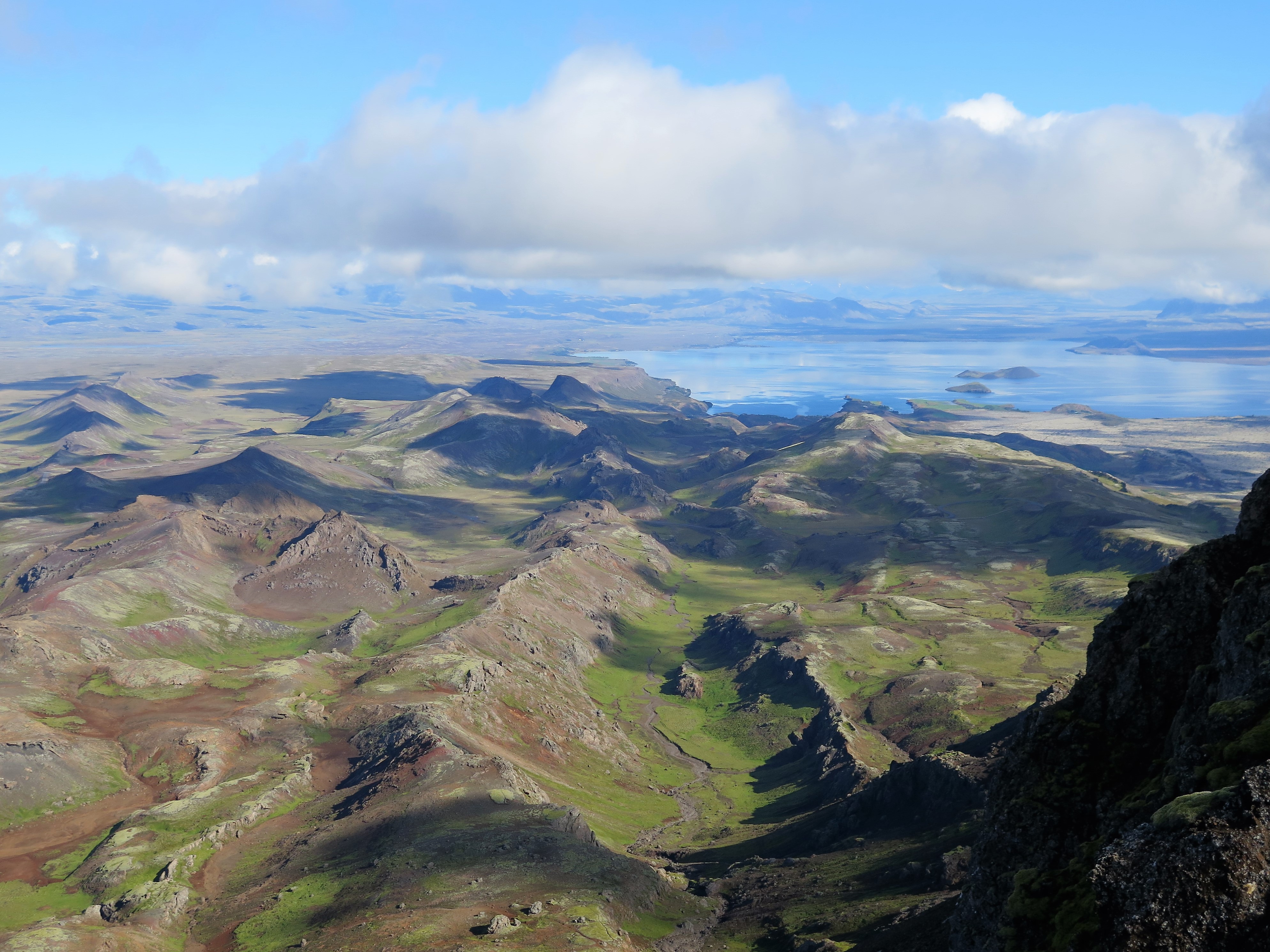
The hiking trail between Landmannalaugar and Þórsmörk is one of the most popular hiking trails in Iceland. National Geographic listed it as one of the most beautiful trails in the world. It is unusual to find so much variety in the landscape. The trail goes through incredibly colourful rhyolite mountains, black obsidian lava, wheezing hot springs, lakes clear as a mirror, black sandy desert and ends in a lush forested area.
The Laugavegur Trail has been published in the Wapp-Walking app. It is divided into four parts and it is good to download it on your phone beforehand and then you use it offline while hiking. There is all sorts of info along with a good map of the trail. The route is sponsored by Ferðafélag Íslands (Iceland Touring Association, FÍ) and they also provided the description of the route.
The traveling schedule depends on what suits the hikers. Some run the length of the trail in a single leg, while other use at least four days to enjoy all the fantastic and beautiful spots along the trail. Many use the sleeping bag accommodations found in the huts along the trail but other choose stay in tents. Keep in mind that it is absolutely prohibited to pitch a tent outside designated areas inside the nature reserve. It must be emphasized that no one can throw away and leave their garbage, including toilet paper and leftover foods out in the open nature. You must bring it with you to the next cabin where there are garbage bins where you can dispose of it.
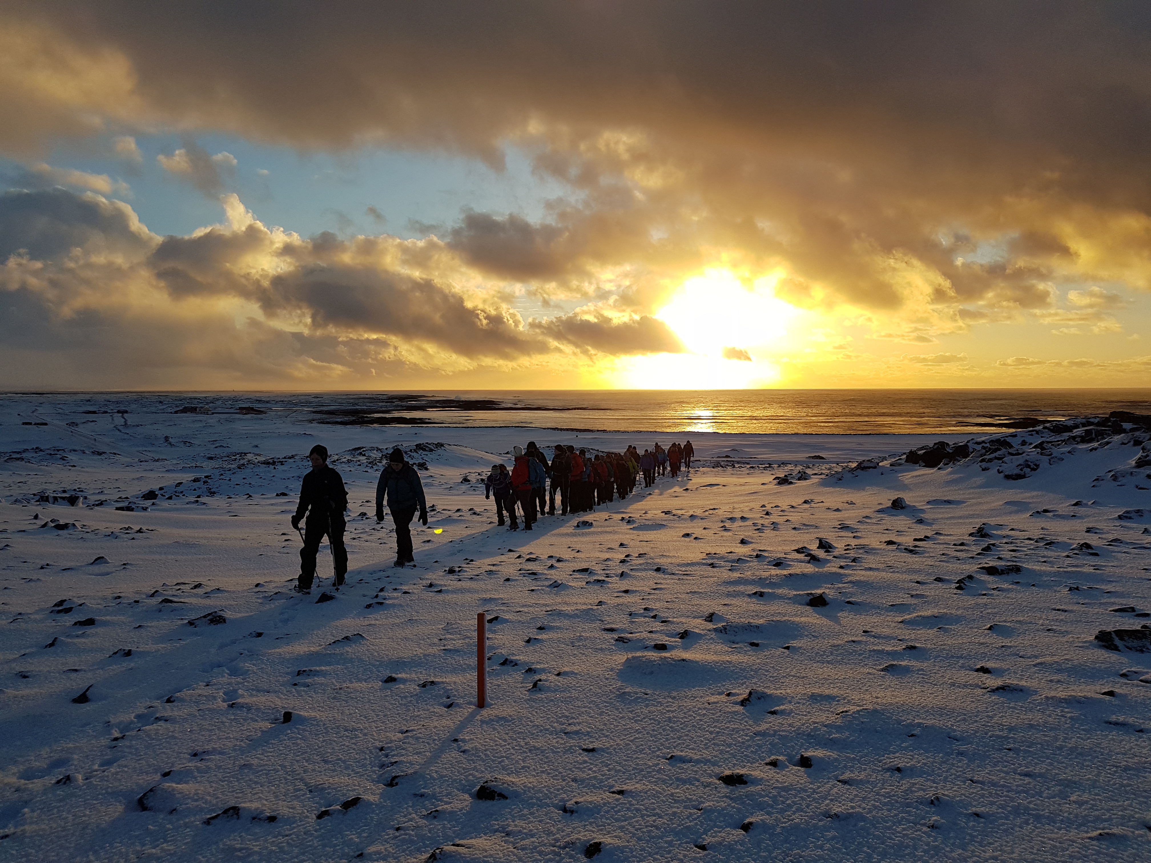
The whole trail is well marked and has enough traffic that the danger of getting lost is minimal. However, in bad weather and fog, when visibility is close to zero, everything can change momentarily. This is especially true during the first two parts of the trail, from Landmannalaugar up to Hrafntinnusker and then down to the lake Álftavatn. Early summer this area can also be covered with snow. The hikers must keep in mind that they are in the middle of the Icelandic highlands, reaching altitude of more than 1000 meters. You must be prepared for every type of weather, even snowstorm in the middle of July.
Some rivers on the way have no footbridge. Generally, they are not difficult to cross but they can grow without a moments notice in rain and ablation. Be extra careful, always let the current help you get across. The water in rivers and streams is in most cases potable so there is no need to carry too much water.
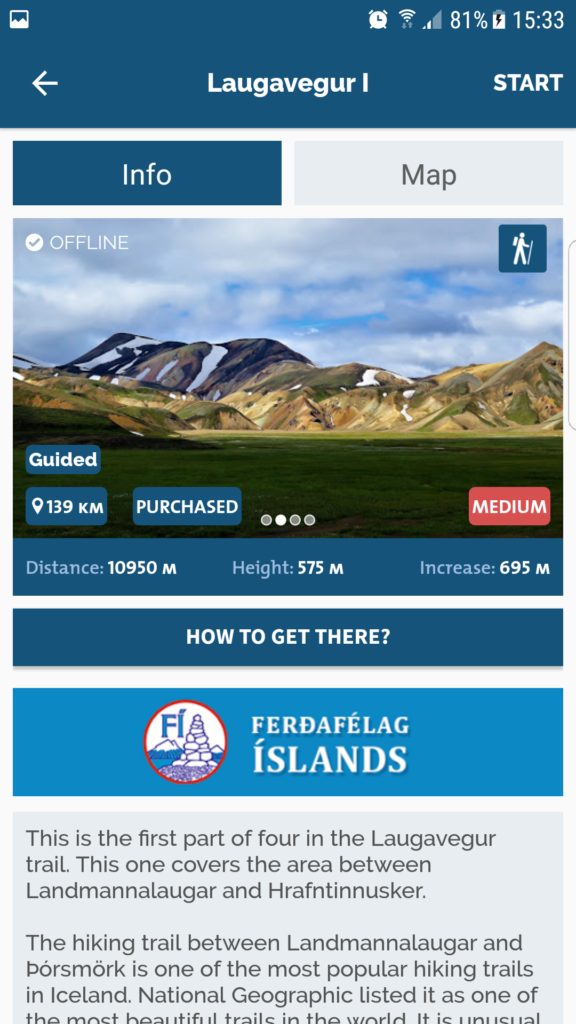
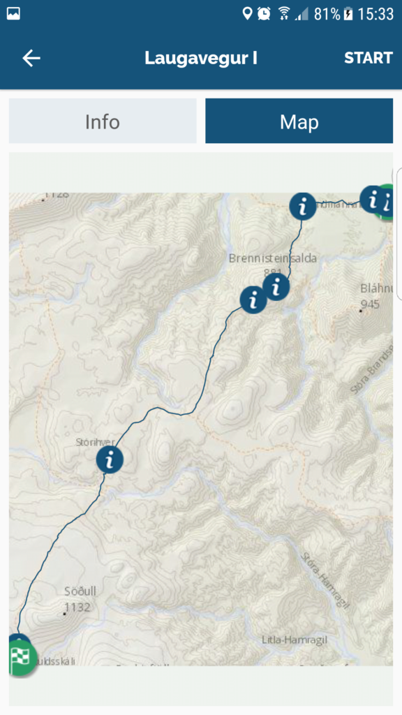
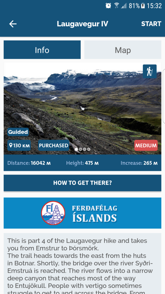
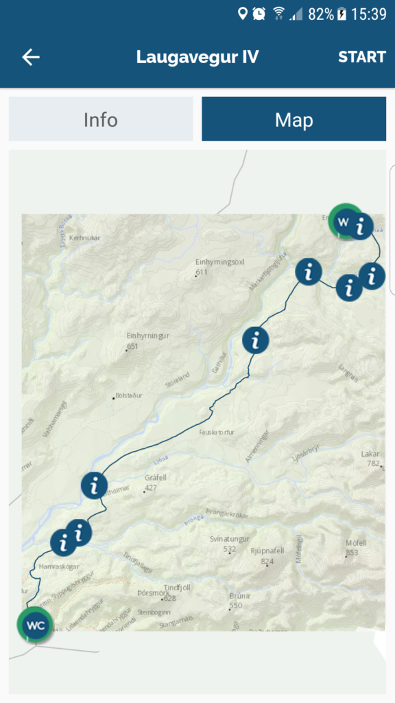
[…] downloadable map in 4 sections is available via the Wapp app. Wapp is a free app that also provides information on nature, history, folk tales and the […]