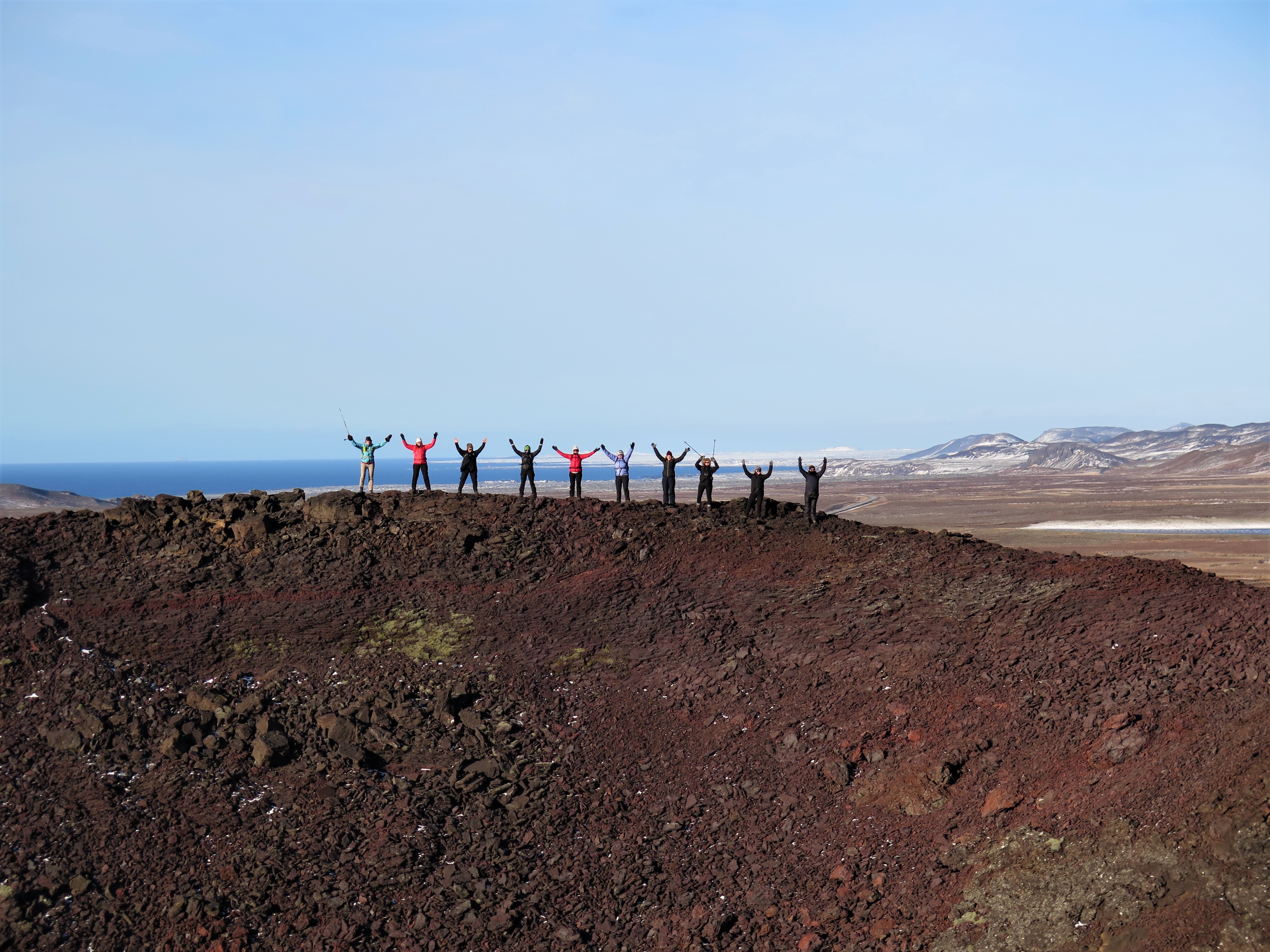
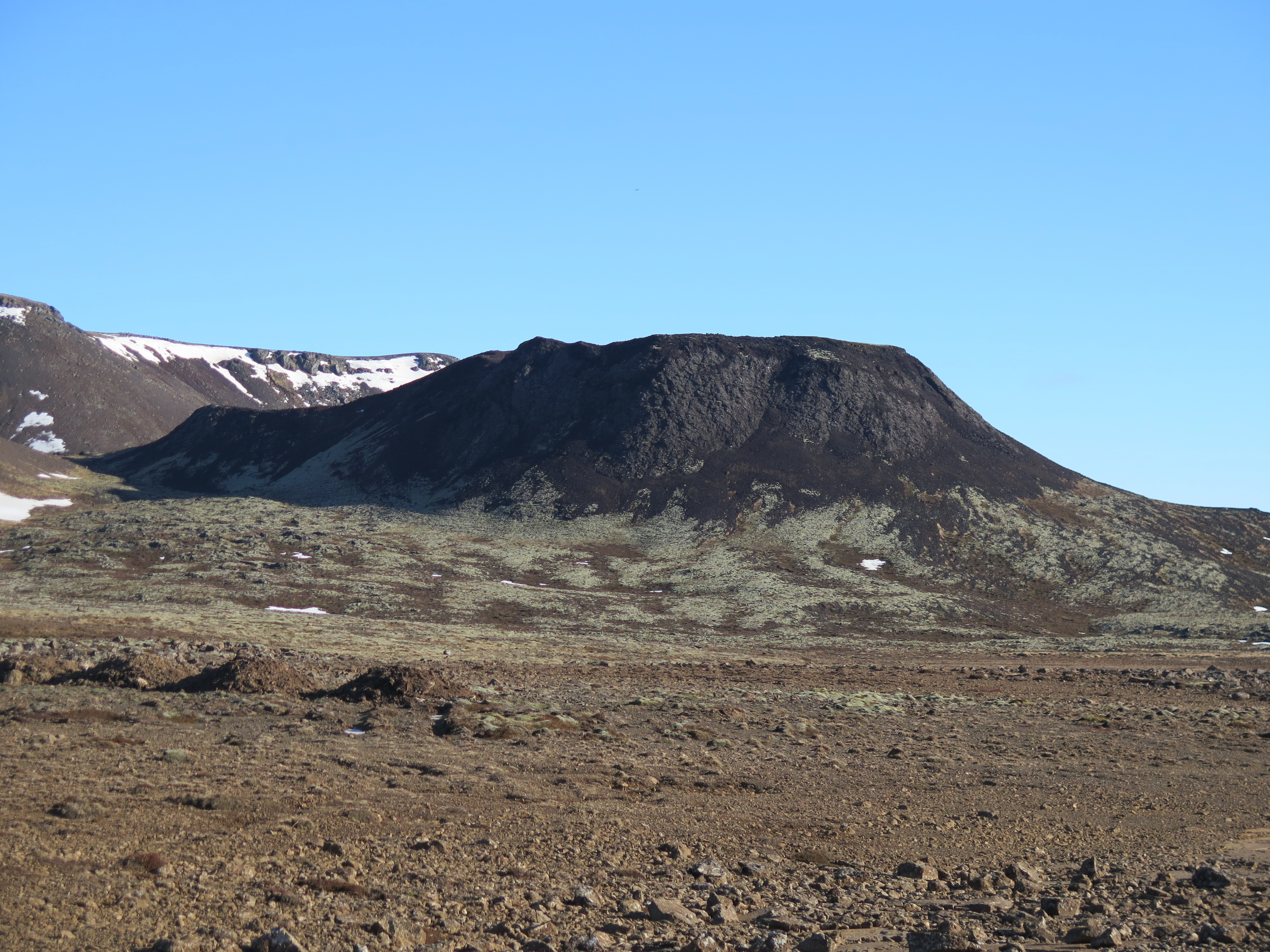
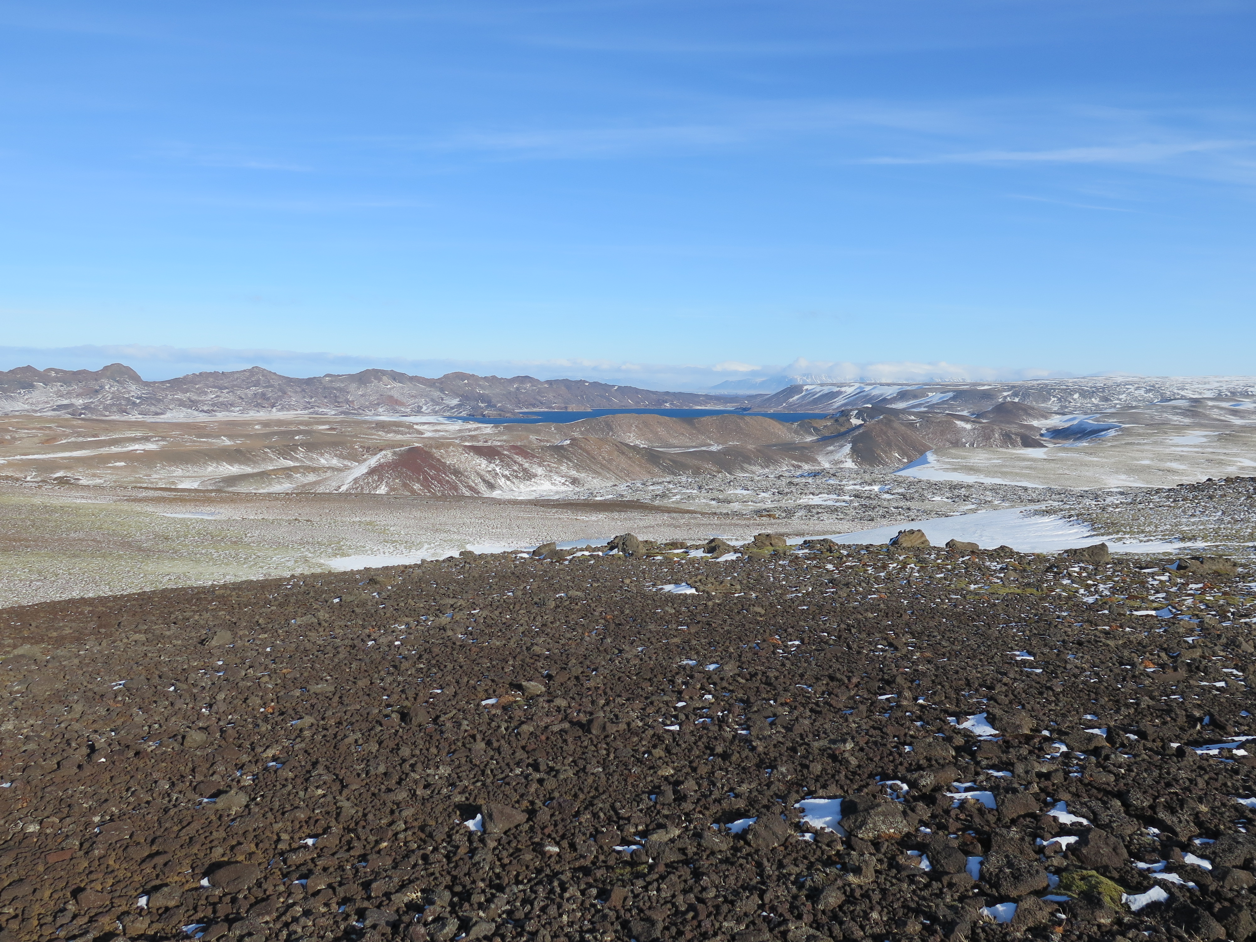
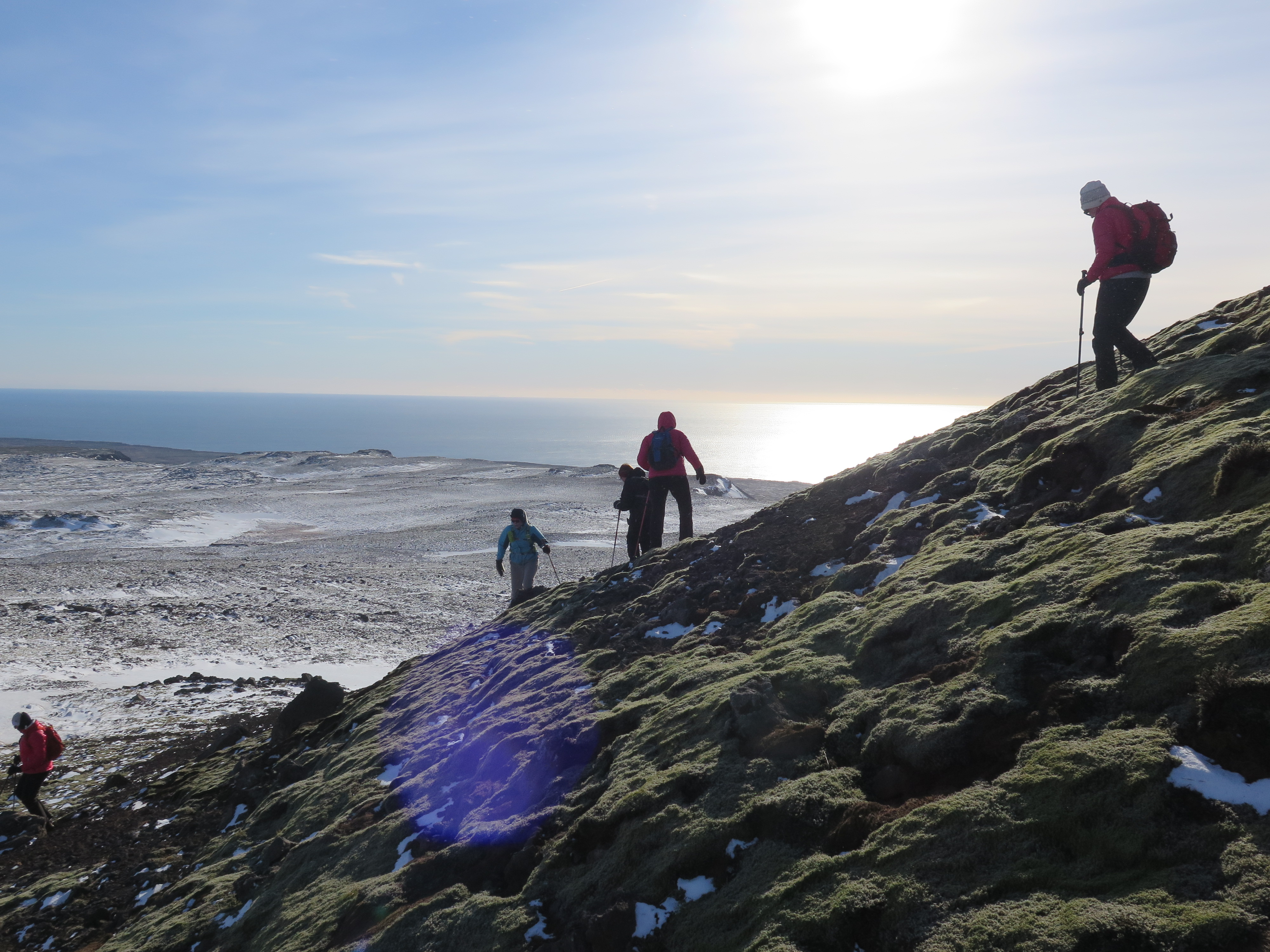
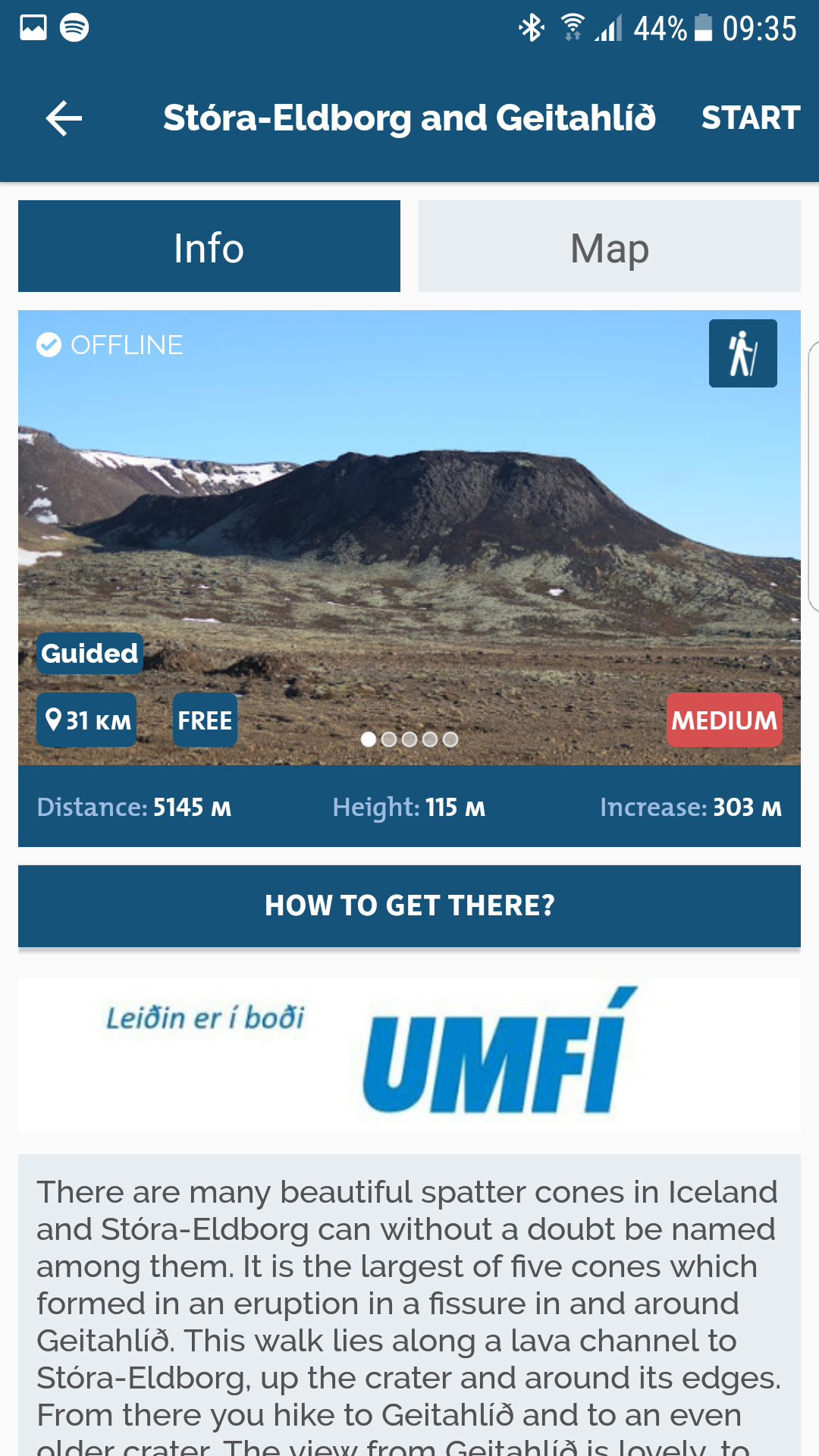
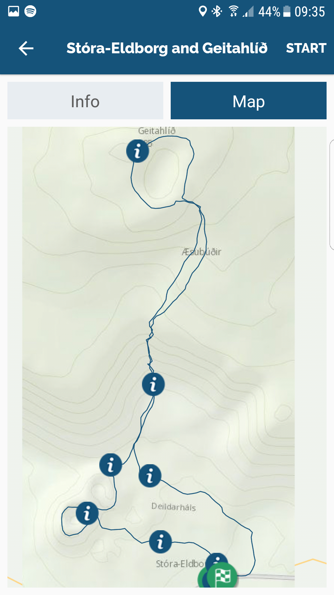
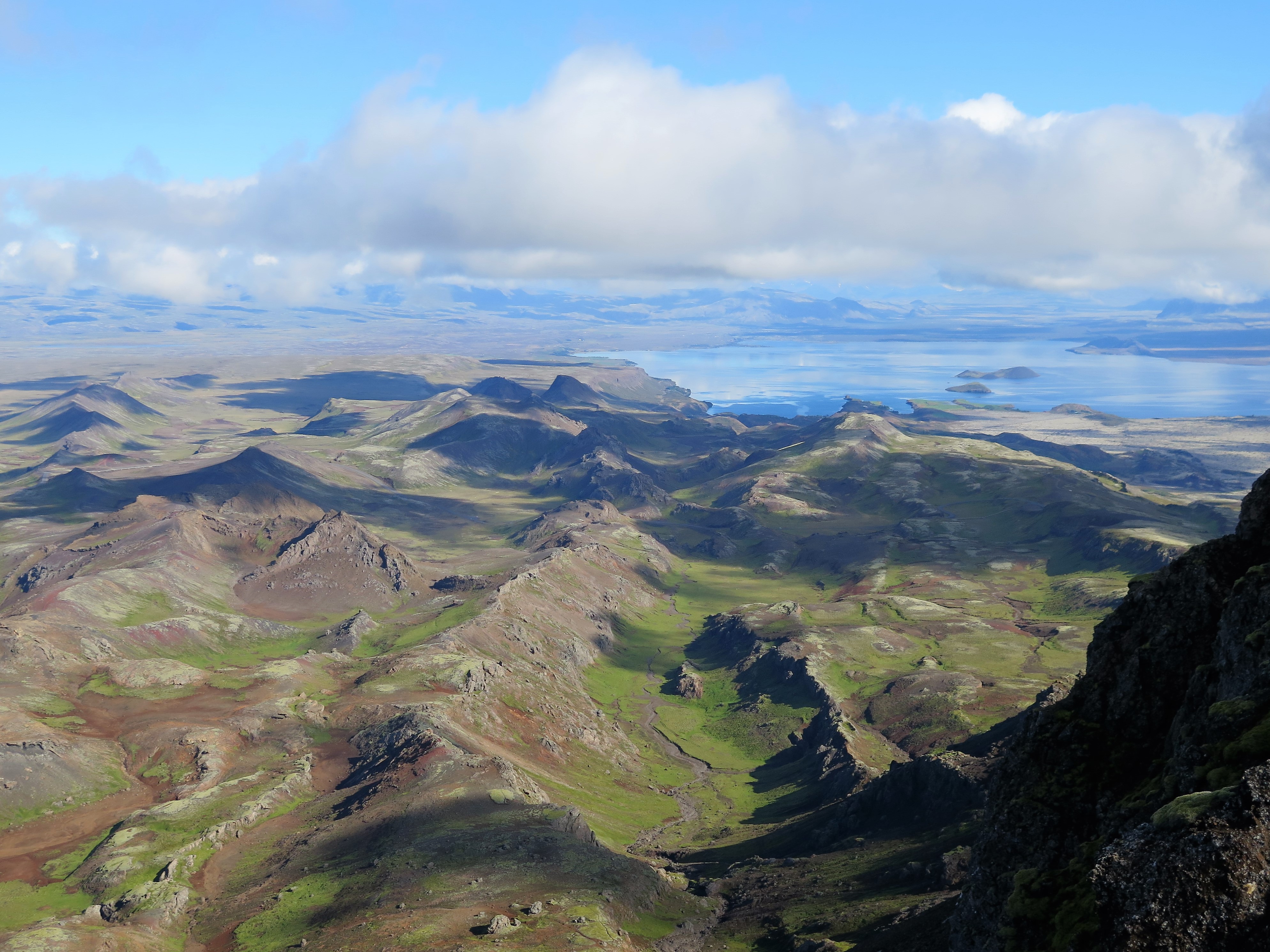
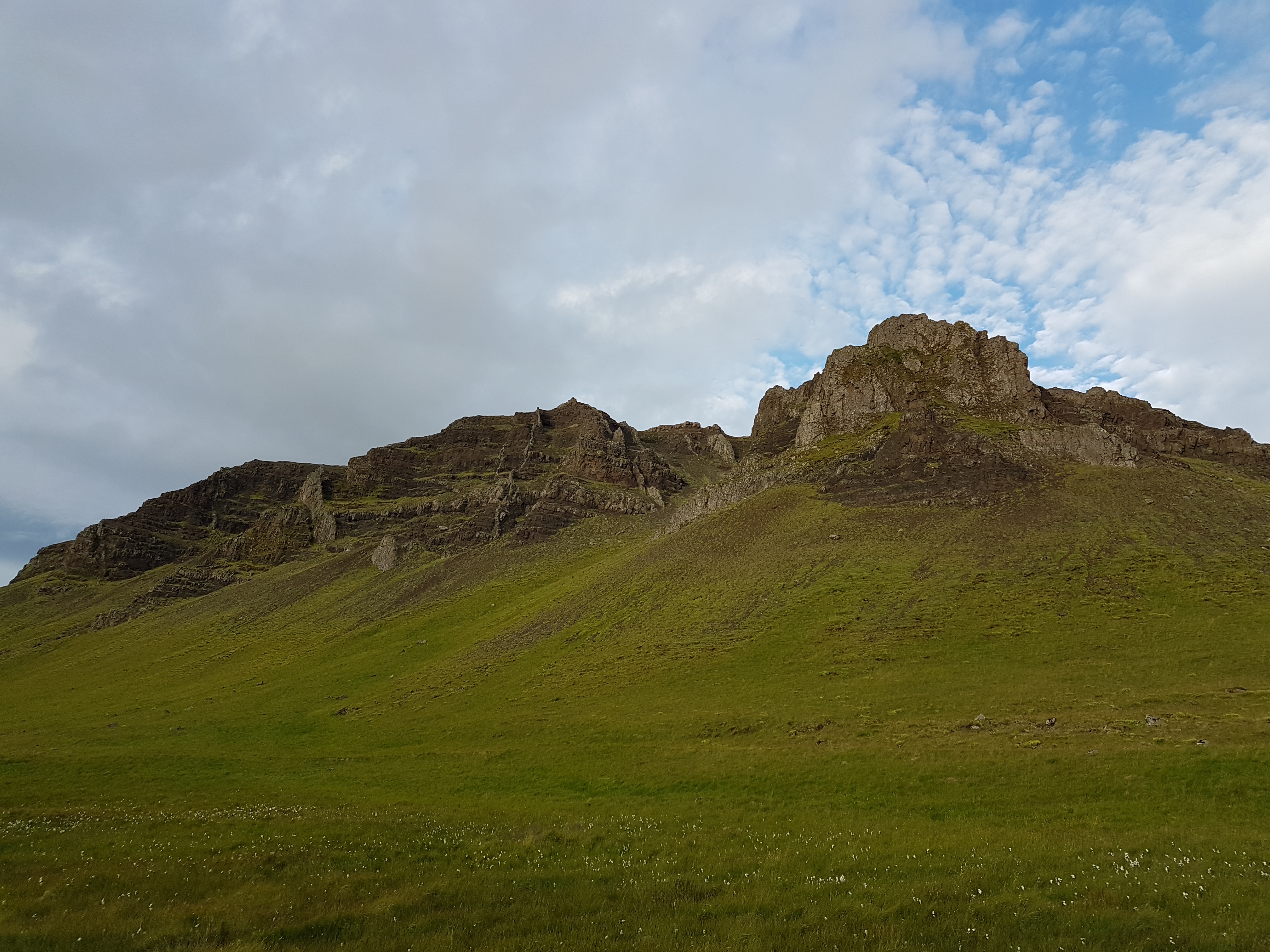
There are many beautiful spatter cones in Iceland and Stóra-Eldborg can without a doubt be named among them. It is the largest of five cones which formed in an eruption in a fissure in and around Mt. Geitahlíð. This walk lies along a lava channel to Stóra-Eldborg, up the crater and around its edges. From there you hike to Mt. Geitahlíð and to an even older crater. The view from Mt. Geitahlíð is lovely, to the east and west you can clearly see how lava has flowed at different times from the volcanic mountains.
The hike itself is pleasant, with some elevation up Mt. Geitahlíð. As per usual it is advisable to carry crampons in winter. The route in the Wapp-Walking app is sponsored by the Icelandic Youth Association and therefore free for users.
Lava Channel
Spatter cones often have lava channels nearby. They are formed when fiery lava around the cone is solidified, except for a small lava creek which still flows in its channel. Once the eruption is over, the channel empties and is called a lava channel from then on. The lava channels beneath Stóra-Eldborg are a perfect example of intact such channels. Another one is below Mt. Búrfell, close to Heiðmörk, but there the lava channel has been called Búrfellsgjá. When lava flows through such channels, caves are often formed when the surface lava cools and solidifies but the lava continues flowing below.
Krýsa and Herdís
Landowners have long quarreled over the boundaries between their properties and this can also be seen in Icelandic myths. The sisters Krýsa, who lived in Krýsuvík, and Herdís, who lived in Herdísarvík, took the argument a little further than most. They met in Deildarháls, just east of Stóra-Eldborg, and threatened each other. Herdís cursed Lake Kleifarvatn so that nothing but inedible fish would ever be caught there, but Krýsa came back with a curse of her own; that crews sailing from Herdísarvík would be drowned in Herdísarvík Pond. Then they fought until they both died. A little further to the east there are two mounds of stones which are called Kerlingar (Old Hags), which supposedly are the sisters´ final resting place and also served to mark the borders between counties in the past. The borders are now still further east, marked by a rock called Sýslusteinn.

Leave A Comment